
明花乡, Gemeinde in China
Location: Sunan Yugur Autonomous County
GPS coordinates: 39.63810,99.11561
Latest update: April 7, 2025 21:10
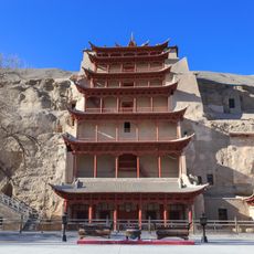
Mogao Caves
371.2 km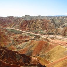
Zhangye Danxia National Geological Park
119 km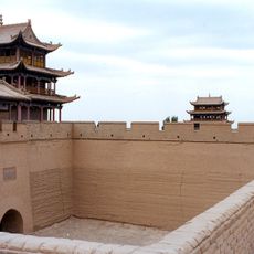
Jiayuguan
79.1 km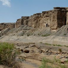
Yulin Caves
275.7 km
Matisi Grottoes
170.7 km
Stele of Sulaiman
371.2 km
Dafo Temple
139.7 km
Suoyang City
257.7 km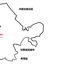
Xuanquanzhi
330.5 km
Nuclear City of China
338.1 km
Ta'er Temple
256.6 km
Stele of Liangzhou
360.8 km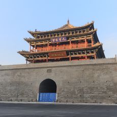
Zhangye Gulou
139.4 km
Badain Jaran Temple
284 km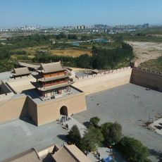
Xiongguan District
76.3 km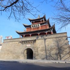
Jiuquan Gulou
53.2 km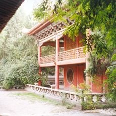
Wuwei Confucian Temple
360.6 km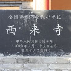
Xilai Temple
139.4 km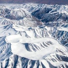
Touming Mengke Glacier
69.9 km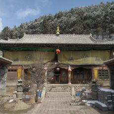
Chuzang
381 km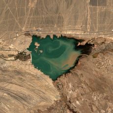
Shuangta Reservoir
256.4 km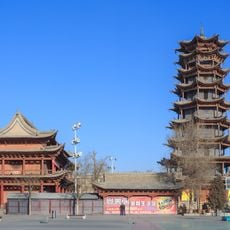
Wanshou Temple (Zhangye)
139.3 km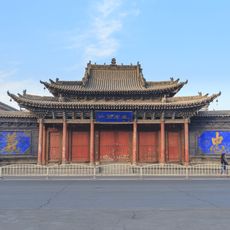
Zhangye Shanxi Huiguan
139.8 km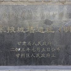
City wall of Zhangye
139.7 km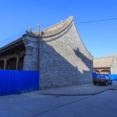
Former residence of Gao Meng
139.1 km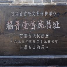
Gospel Hospital in Zhangye
138.6 km
Jinchuanxia Shuiku
290.8 km
Huangyuan Xian Mosque
378.9 kmReviews
Visited this place? Tap the stars to rate it and share your experience / photos with the community! Try now! You can cancel it anytime.
Discover hidden gems everywhere you go!
From secret cafés to breathtaking viewpoints, skip the crowded tourist spots and find places that match your style. Our app makes it easy with voice search, smart filtering, route optimization, and insider tips from travelers worldwide. Download now for the complete mobile experience.

A unique approach to discovering new places❞
— Le Figaro
All the places worth exploring❞
— France Info
A tailor-made excursion in just a few clicks❞
— 20 Minutes