
毛藏乡, Gemeinde in China
Location: Bairi Tibetan Autonomous County
GPS coordinates: 37.52010,102.42496
Latest update: March 6, 2025 12:11
Kumbum Monastery
137.7 km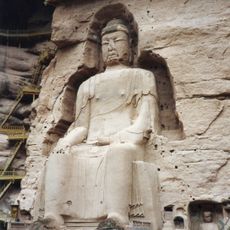
Bingling Temple
198.3 km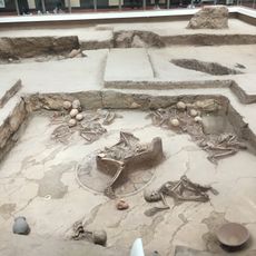
Lajia Ruins
187.3 km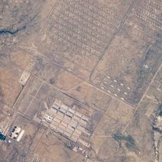
Pueblo Depot Activity
190.6 km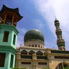
Dongguan Mosque
115.2 km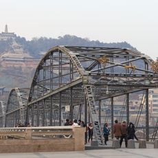
Zhongshan Bridge
203.9 km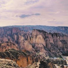
Huanghe Shilin National Geopark
182.1 km
Wushao Ling Mountain
55.3 km
Gansu Provincial Museum
201.5 km
Xiguan Mosque
204.3 km
Ma Bufang Mansion
114.6 km
Tiantishan Grottoes
28.3 km
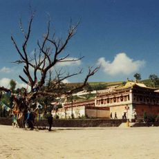
Qutan Temple
130.2 km
Nuclear City of China
148 km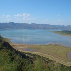
Liujiaxia Reservoir
194.9 km
Stele of Liangzhou
48.7 km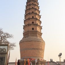
Pagoda of Ci'en Temple
203.6 km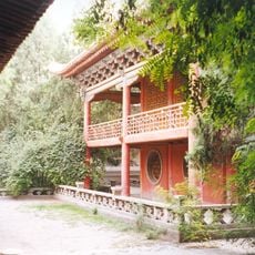
Wuwei Confucian Temple
48.9 km
Lanzhou Fu Chenghuang Miao
204.6 km
Chuzang
73.7 km
People's Park
114.6 km
Yuhuang Ge
186.4 km
Shadzong Ritro
139.3 km
Jinchuanxia Shuiku
93.8 km
大南川水库
139.9 km
Huangyuan Xian Mosque
137.9 km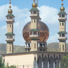
Grande mosquée de Duoba
125 km
Liujiaxia Mosque
193.5 kmReviews
Visited this place? Tap the stars to rate it and share your experience / photos with the community! Try now! You can cancel it anytime.
Discover hidden gems everywhere you go!
From secret cafés to breathtaking viewpoints, skip the crowded tourist spots and find places that match your style. Our app makes it easy with voice search, smart filtering, route optimization, and insider tips from travelers worldwide. Download now for the complete mobile experience.

A unique approach to discovering new places❞
— Le Figaro
All the places worth exploring❞
— France Info
A tailor-made excursion in just a few clicks❞
— 20 Minutes