
梅子镇, قرية في مقاطعة نينغر هاني ويي، الصين
Location: Ning'er Hani and Yi Autonomous County
GPS coordinates: 23.52085,101.16473
Latest update: April 12, 2025 21:11

Honghe Hani Rice Terraces
168.8 km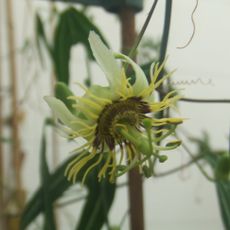
Xishuangbanna Tropical Botanical Garden
184.1 km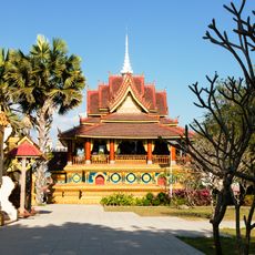
Zongfo Temple
174.5 km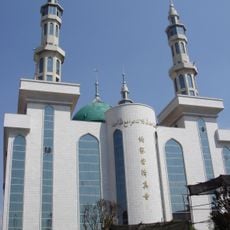
Najiaying Mosque
175.9 km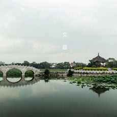
Jianshui Confucian Temple
169.2 km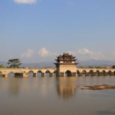
Shuanglong Bridge
166.4 km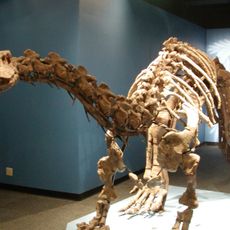
Lufeng Dinosaur Museum
186.2 km
Xiushan Ancient Architecture
174.5 km
Ganlanba Bridge
188 km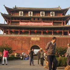
Chaoyang Gate (Jianshui)
170.2 km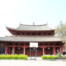
Main Hall of Zhilin Temple
169.3 km
Wang Renqiu Stele
185.9 km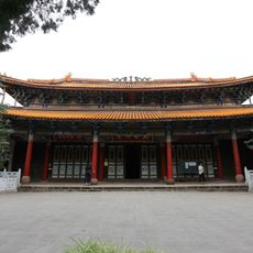
Chuxiong Confucian Temple
173.1 km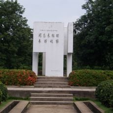
西双版纳花卉园周总理视察热作所纪念碑
172.3 km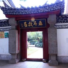
聂耳故居
168.3 km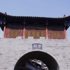
碧溪传统民居建筑群
53.9 km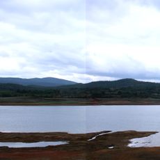
Chemuhe Shuiku
173.4 km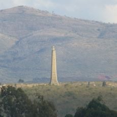
Wenbi Tower (Jianshui)
168.8 km
Dongfeng Shuiku (tubiganan sa Republikang Popular sa Tsina, Yunnan Sheng)
172.6 km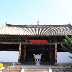
三圣宫
179.4 km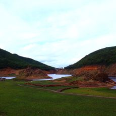
小箐口水库
185 km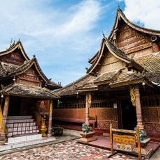
Manchunman Temple
187.2 km
Duoyishu Viewpoint
173.3 km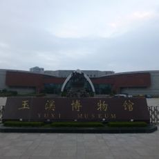
玉溪市博物馆
167.2 km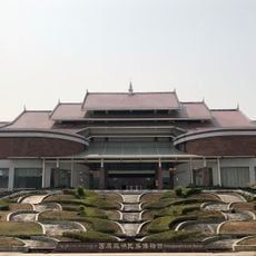
Xishuangbanna Nationalities Museum
176.7 km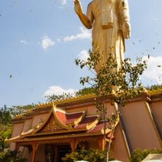
Jinghong Dafo
177.5 km
玉溪市红塔区聂耳故居纪念馆
168.3 km
Chuxiong Yi Autonomous Prefecture Museum
172.1 kmReviews
Visited this place? Tap the stars to rate it and share your experience / photos with the community! Try now! You can cancel it anytime.
Discover hidden gems everywhere you go!
From secret cafés to breathtaking viewpoints, skip the crowded tourist spots and find places that match your style. Our app makes it easy with voice search, smart filtering, route optimization, and insider tips from travelers worldwide. Download now for the complete mobile experience.

A unique approach to discovering new places❞
— Le Figaro
All the places worth exploring❞
— France Info
A tailor-made excursion in just a few clicks❞
— 20 Minutes