Yongningping Xiang, Gemeinde in China
Location: Ninglang Yi Autonomous County
GPS coordinates: 26.70493,101.00363
Latest update: March 6, 2025 02:05
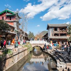
Old Town of Lijiang
78.6 km
Black Dragon Pool
79.2 km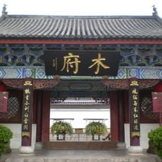
Mu Mansion
78.8 km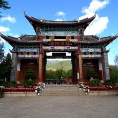
Shuhe
83.1 km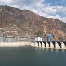
Ertan Dam
78.4 km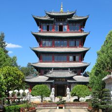
Wangu Pavilion
79.1 km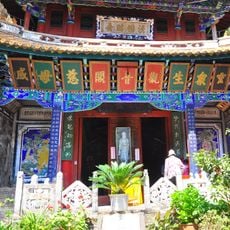
Guanyin Pavilion, Yongsheng
23.2 km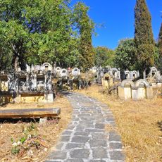
Yingpancun tomb complex
18.4 km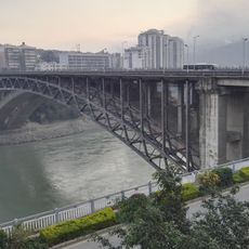
Midi bridge
75.6 km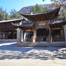
期纳古建筑群
48.8 km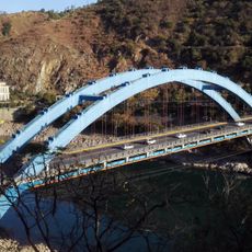
Luoguo bridge
79 km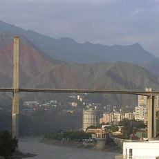
Bingcaogang Bridge
71.2 km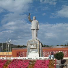
Statue of Mao Zedong at Red Sun Square, Lijiang
79.3 km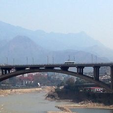
Dukou bridge
70.9 km
503电厂
64.5 km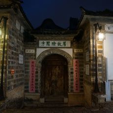
方国瑜故居
78.4 km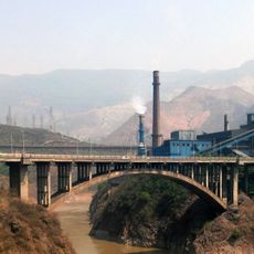
Hehuachi bridge
67.3 km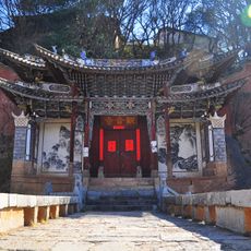
Pingchuan Guanyin Temple
77.1 km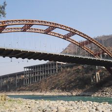
Fala bridge
60.8 km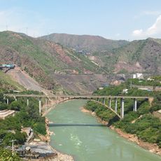
Xinzhuang bridge
66.1 km
Baodin bridge
57.7 km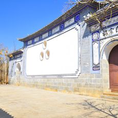
杨氏宗祠名人题刻
75.6 km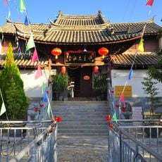
Jinjiang Tuzhu Temple
69.8 km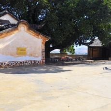
Xilang Wugou An
62.3 km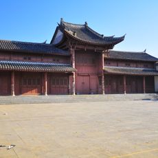
永胜大理会馆
70 km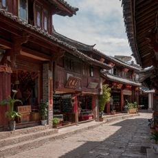
Old Town of Lijiang
78.6 km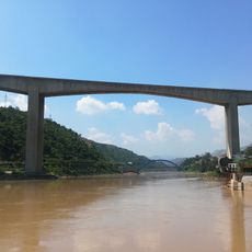
Qinglongshan Bridge
79.5 km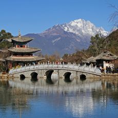
Suocui Bridge
79.2 kmReviews
Visited this place? Tap the stars to rate it and share your experience / photos with the community! Try now! You can cancel it anytime.
Discover hidden gems everywhere you go!
From secret cafés to breathtaking viewpoints, skip the crowded tourist spots and find places that match your style. Our app makes it easy with voice search, smart filtering, route optimization, and insider tips from travelers worldwide. Download now for the complete mobile experience.

A unique approach to discovering new places❞
— Le Figaro
All the places worth exploring❞
— France Info
A tailor-made excursion in just a few clicks❞
— 20 Minutes