街子镇, gemeente in Xunhua, Volksrepubliek China
Location: Xunhua Salar Autonomous County
GPS coordinates: 35.85584,102.43365
Latest update: March 25, 2025 11:53
Kumbum Monastery
105.1 km
Labrang Monastery
73.9 km
Baishiya Karst Cave
47.1 km
Bingling Temple
55.7 km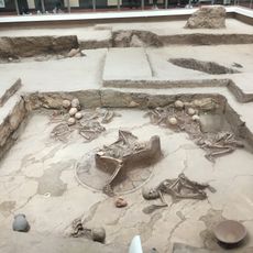
Lajia Ruins
33.5 km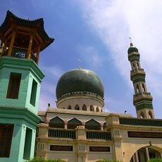
Dongguan Mosque
102.1 km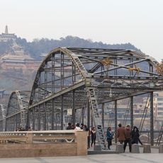
Zhongshan Bridge
126.6 km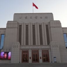
Gansu Provincial Museum
122.9 km
Xiguan Mosque
126.3 km
Ma Bufang Mansion
101.9 km
Qutan Temple
56.9 km
Liujiaxia Reservoir
82.7 km
Longwu Temple
54.6 km
Tso Monastery
103.9 km
Pagoda of Ci'en Temple
126.6 km
Laohua Mosque
75.5 km
五泉山建筑群
126.7 km
Lanzhou Fu Chenghuang Miao
127 km
Multicoloured Mosque
75.1 km
People's Park
105.9 km
Yuhuang Ge
93.1 km
Honglou Times Square
127.2 km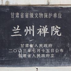
Lanzhou Chanyuan
127.6 km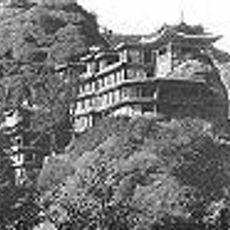
Shadzong Ritro
71.5 km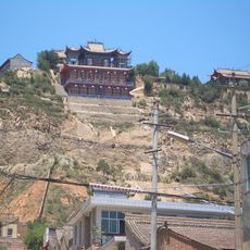
Huyin Temple
74.6 km
大南川水库
99.9 km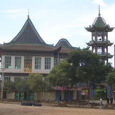
Linxia Chengjiao Mosque
75.6 km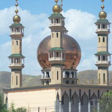
Grande mosquée de Duoba
121.2 kmReviews
Visited this place? Tap the stars to rate it and share your experience / photos with the community! Try now! You can cancel it anytime.
Discover hidden gems everywhere you go!
From secret cafés to breathtaking viewpoints, skip the crowded tourist spots and find places that match your style. Our app makes it easy with voice search, smart filtering, route optimization, and insider tips from travelers worldwide. Download now for the complete mobile experience.

A unique approach to discovering new places❞
— Le Figaro
All the places worth exploring❞
— France Info
A tailor-made excursion in just a few clicks❞
— 20 Minutes