项脚蒙古族乡
Location: Muli Tibetan Autonomous County
GPS coordinates: 27.90113,101.35980
Latest update: March 8, 2025 02:21
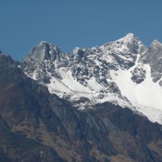
Jade Dragon Snow Mountain
147.1 km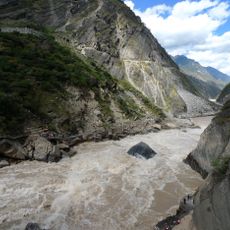
Tiger Leaping Gorge
141.7 km
Jinping-I Hydropower Station
41.1 km
Yading
123 km
Baishuitai
137.8 km
Haba Xueshan
139.5 km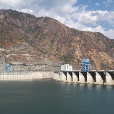
Ertan Dam
127.2 km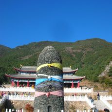
Jade Water Village
152.1 km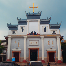
Cathedral of the Angels, Xichang
89.1 km
Jinshajiang Bridge of Chengkun Railway
154.3 km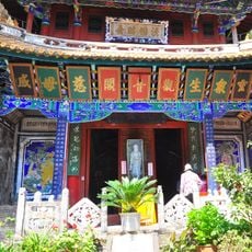
Guanyin Pavilion, Yongsheng
146.6 km
Luobin Shan
105.6 km
Yingpancun tomb complex
152.7 km
Chöling Monastery
135.3 km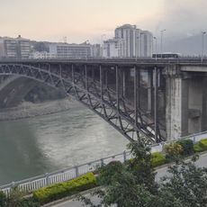
Midi bridge
152.5 km
Luoguo bridge
150.8 km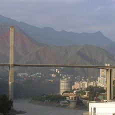
Bingcaogang Bridge
151.4 km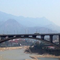
Dukou bridge
153.3 km
503电厂
150.5 km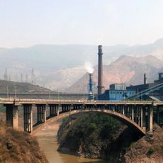
Hehuachi bridge
151.3 km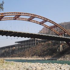
Fala bridge
148.1 km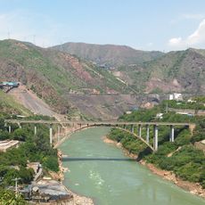
Xinzhuang bridge
149.3 km
Baodin bridge
146.7 km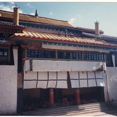
Muli Monastery
58.2 km
迷昜湖大桥
134.6 km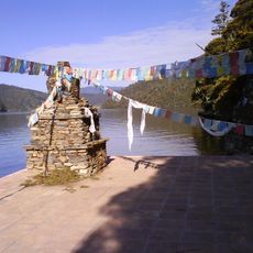
Pu Dacu Manjusri Temple
135.3 km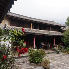
Former residence of Joseph Rock
150.2 km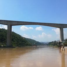
Qinglongshan Bridge
150.7 kmReviews
Visited this place? Tap the stars to rate it and share your experience / photos with the community! Try now! You can cancel it anytime.
Discover hidden gems everywhere you go!
From secret cafés to breathtaking viewpoints, skip the crowded tourist spots and find places that match your style. Our app makes it easy with voice search, smart filtering, route optimization, and insider tips from travelers worldwide. Download now for the complete mobile experience.

A unique approach to discovering new places❞
— Le Figaro
All the places worth exploring❞
— France Info
A tailor-made excursion in just a few clicks❞
— 20 Minutes