
Shirenzi, Gemeinde in China
Location: Barkol Kazakh Autonomous County
GPS coordinates: 43.61430,93.15332
Latest update: May 10, 2025 07:23
Mogao Caves
421.1 km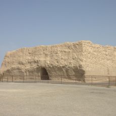
Yumen Pass
367.9 km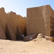
Gaochang
305.9 km
Turpan karez system
315.5 km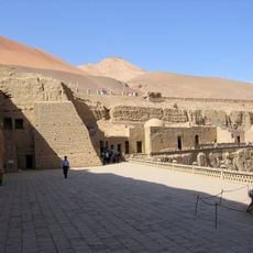
Bezeklik Thousand Buddha Caves
301.8 km
Khovd
371.9 km
Lop Desert
438.9 km
Yangguan
417.3 km
Beiting
321.5 km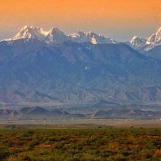
Bogda Peak
388.2 km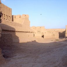
Gaochang ruins
306.1 km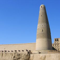
Emin Minaret
328.9 km
Astana Cemetery
305.1 km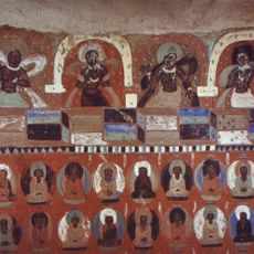
Western Thousand Buddha Caves
417.2 km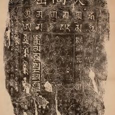
Stele of Sulaiman
421.1 km
Lop Nur Wild Camel National Nature Reserve
295.9 km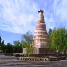
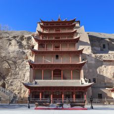
White Horse Pagoda, Dunhuang
407.1 km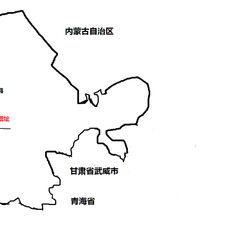
Xuanquanzhi
414.1 km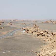
Dunhuang Yardang National Geopark
343.4 km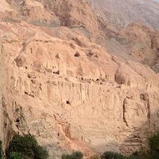
Toyuq
292.9 km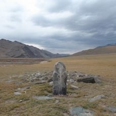
Munkhkhairkhan National Park
380.3 km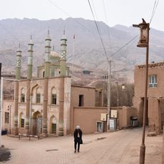
Tuyugou valley
293 km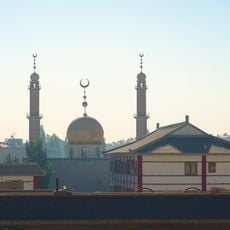
Dunhuang Mosque
406.8 km
Memorial Hall of the General Detachment of the West Road Army of the Chinese Workers' and Peasants' Red Army
445.1 km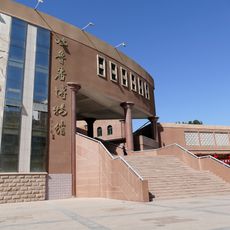
Turpan Museum
329.6 km
Bulgan Gol-Ikh Ongog National Park
318.3 km
Shuangta Reservoir
431.3 km
Qingquan Temple
442 kmReviews
Visited this place? Tap the stars to rate it and share your experience / photos with the community! Try now! You can cancel it anytime.
Discover hidden gems everywhere you go!
From secret cafés to breathtaking viewpoints, skip the crowded tourist spots and find places that match your style. Our app makes it easy with voice search, smart filtering, route optimization, and insider tips from travelers worldwide. Download now for the complete mobile experience.

A unique approach to discovering new places❞
— Le Figaro
All the places worth exploring❞
— France Info
A tailor-made excursion in just a few clicks❞
— 20 Minutes