
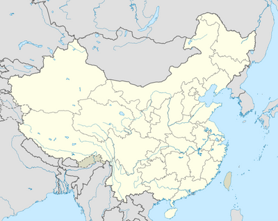
Ma'andi Xiang, Gemeinde in China
Location: Jinping Miao, Yao, and Dai Autonomous County
GPS coordinates: 22.77086,103.51690
Latest update: March 25, 2025 11:53
Fansipan
58.5 km
Bao Ha Temple
108.9 km
Honghe Hani Rice Terraces
86.3 km
Hoang Lien National Park
58.4 km
Zhou's House
67.7 km
Pa Uon Bridge
120.3 km
南湖瀛洲亭
67.2 km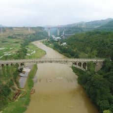
Kaiyuan Changhong Bridge
118.9 km
Former Mengzi Customs House
67.3 km
Cốc Lếu Bridge
55.1 km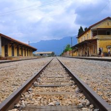
Bisezhai Railway Station
78.1 km
Faux Namti Bridge
55.6 km
Phu Si Lung
76.6 km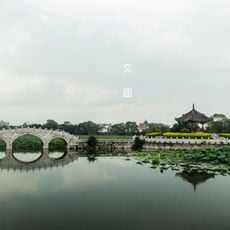
Jianshui Confucian Temple
118.3 km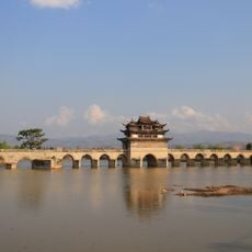
Shuanglong Bridge
119.1 km
Chaoyang Gate (Jianshui)
117.7 km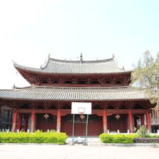
Main Hall of Zhilin Temple
117.7 km
Cát Cát waterfall
58.8 km
Pho Lu Bridge
84.8 km
Datunhai reservoir
76.3 km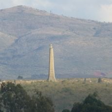
Wenbi Tower (Jianshui)
115.7 km
河口海关旧址
54.4 km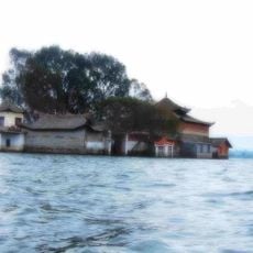
Datunhai reservoir
76.5 km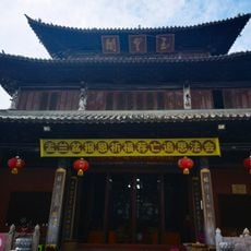
蒙自玉皇阁
67.8 km
Duoyishu Viewpoint
82.2 km
同盟会河口起义纪念馆
54.4 km
Hoang Su Phi Terraced Rice Fields
117.2 km
Honghe Hani and Yi Autonomous Prefecture Museum
68.2 kmReviews
Visited this place? Tap the stars to rate it and share your experience / photos with the community! Try now! You can cancel it anytime.
Discover hidden gems everywhere you go!
From secret cafés to breathtaking viewpoints, skip the crowded tourist spots and find places that match your style. Our app makes it easy with voice search, smart filtering, route optimization, and insider tips from travelers worldwide. Download now for the complete mobile experience.

A unique approach to discovering new places❞
— Le Figaro
All the places worth exploring❞
— France Info
A tailor-made excursion in just a few clicks❞
— 20 Minutes