红旗水库, Stausee in der Volksrepublik China
Location: Yuezhezhen
Inception: 1958
GPS coordinates: 24.13667,103.98528
Latest update: March 7, 2025 18:51
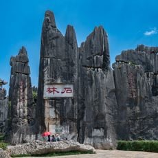
Stone Forest
101.1 km
Maotianshan Shales
124.3 km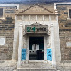
Zhou's House
104.2 km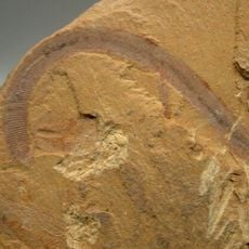
Chengjiang Fossil Site
118.1 km
南湖瀛洲亭
104.3 km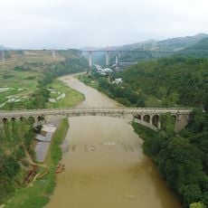
Kaiyuan Changhong Bridge
80.5 km
Former Mengzi Customs House
104.1 km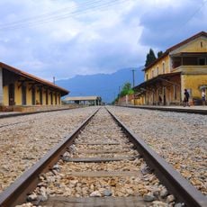
Bisezhai Railway Station
94.9 km
Faux Namti Bridge
104.8 km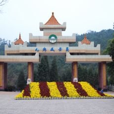
Jiuxiang Scenic Region
123.1 km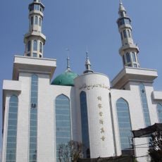
Najiaying Mosque
127.2 km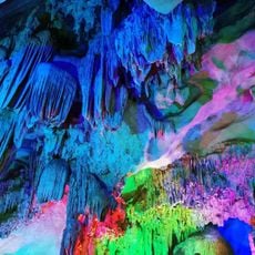
Alu Cave
53 km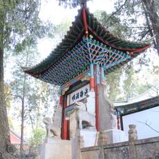
Xiushan Ancient Architecture
125.1 km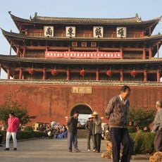
Chaoyang Gate (Jianshui)
131 km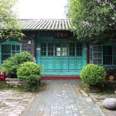
侬氏土司衙署
110 km
梁王山
129.9 km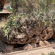
Fish Boundary Rock
121.5 km
Datunhai reservoir
104.4 km
Lunan Confucian Temple
101 km
三圣宫
120.1 km
Datunhai reservoir
103.8 km
锦屏文笔塔
24.6 km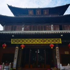
蒙自玉皇阁
104 km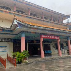
Guangnan Ethnological Museum
109.7 km
保兴桥
117.3 km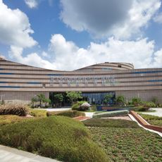
Chengjiang Fossil Site Natural Museum
117.1 km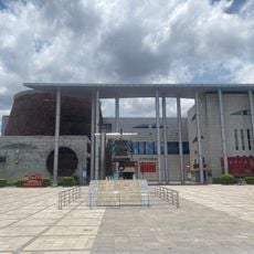
Honghe Hani and Yi Autonomous Prefecture Museum
105.8 km
牛羊太平桥
119.6 kmReviews
Visited this place? Tap the stars to rate it and share your experience / photos with the community! Try now! You can cancel it anytime.
Discover hidden gems everywhere you go!
From secret cafés to breathtaking viewpoints, skip the crowded tourist spots and find places that match your style. Our app makes it easy with voice search, smart filtering, route optimization, and insider tips from travelers worldwide. Download now for the complete mobile experience.

A unique approach to discovering new places❞
— Le Figaro
All the places worth exploring❞
— France Info
A tailor-made excursion in just a few clicks❞
— 20 Minutes