
Maoping, Chengbu County, human settlement in People's Republic of China
Location: Chengbu Miao Autonomous County
GPS coordinates: 26.51269,110.41140
Latest update: May 28, 2025 12:10

Reed Flute Cave
135.2 km
Longsheng Rice Terrace
88.8 km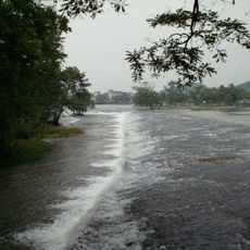
Lingqu
104.8 km
Chengyang Bridge
103 km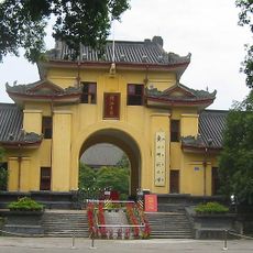
Jingjiang Princes' City
152.3 km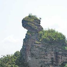
Mount Kitten
71.9 km
Mount Langshan
36.5 km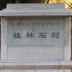
Duxiu Peak
137 km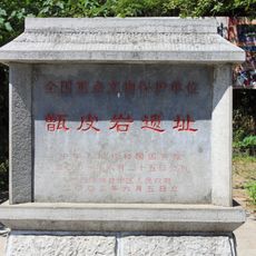
Zengpiyan
145 km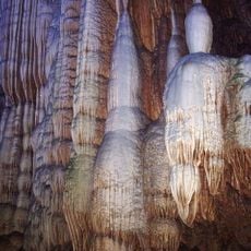
Seven-Star Cave
138.3 km
Ping Island
122.5 km
白崇禧故居
137.9 km
Nine Horses residences
137.3 km
Former Site of the Japanese Surrender Ceremony
125.3 km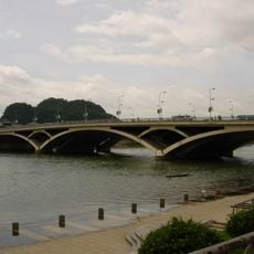
解放桥
137.7 km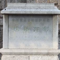
Guihai Forest of Steles Museum
138.3 km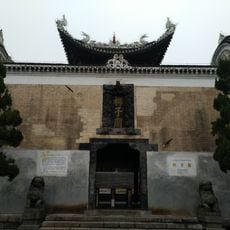
Liuzi Temple
123.3 km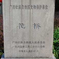
Hua Bridge
138 km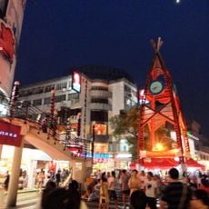
正阳步行街
138 km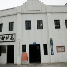
Guilin Office of the Eighth Route Army
136.6 km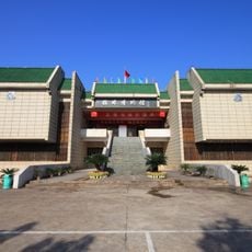
Guilin Museum
143 km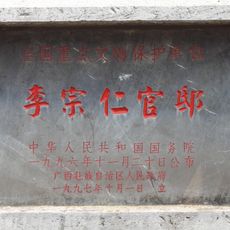
Official residence of Li Zongren
138.4 km
Hunan Yongzhou No.1 High School
124 km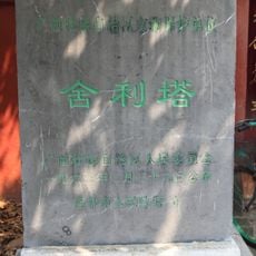
Guilin Dagoba
138.9 km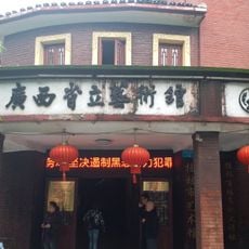
广西省立艺术馆
137.5 km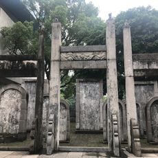
Stone Carvings of Guilin Confucian Temple
137.5 km
奎光楼
137.5 km
Sun and Moon Pagodas
152.2 kmReviews
Visited this place? Tap the stars to rate it and share your experience / photos with the community! Try now! You can cancel it anytime.
Discover hidden gems everywhere you go!
From secret cafés to breathtaking viewpoints, skip the crowded tourist spots and find places that match your style. Our app makes it easy with voice search, smart filtering, route optimization, and insider tips from travelers worldwide. Download now for the complete mobile experience.

A unique approach to discovering new places❞
— Le Figaro
All the places worth exploring❞
— France Info
A tailor-made excursion in just a few clicks❞
— 20 Minutes