
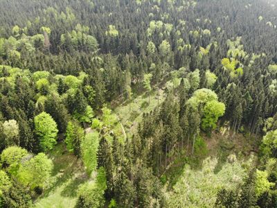
Farní stráň, protected area in Czech Republic
Location: Machov
Inception: August 8, 2008
GPS coordinates: 50.48720,16.27720
Latest update: March 3, 2025 02:29
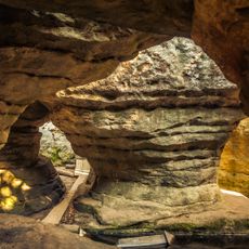
Błędne Skały
1.3 km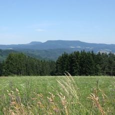
Spiegelberg
3.6 km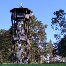
Rozhledna Na Větrné horce
3.4 km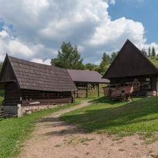
Muzeum Kultury Ludowej Pogórza Sudeckiego
1.9 km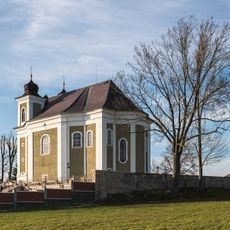
Church of Saint Procopius
4 km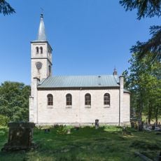
Parafia Ewangelicko-Reformowana w Pstrążnej
1.7 km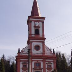
Kostel svatého Václava
1.5 km
Reformed church in Pstrążna
1.7 km
Jabloň u Lidmanů
1.6 km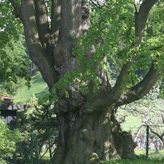
Šrůtkova lípa
1.3 km
WOP post in Pstrążna
1.8 km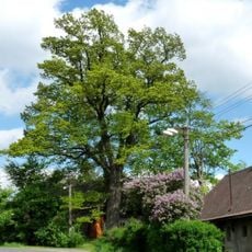
Bezděkovský dub
4 km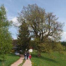
Bohadlova lípa
2.1 km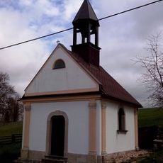
Chapel of the Nativity of the Virgin Mary
3.4 km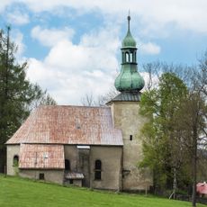
Saint John the Baptist church in Pasterka
3.6 km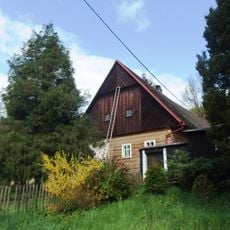
Usedlost čp. 36 a 37
2.9 km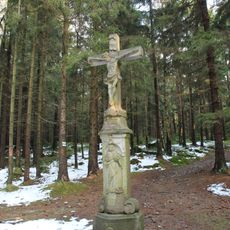
Machovský kříž
3.9 km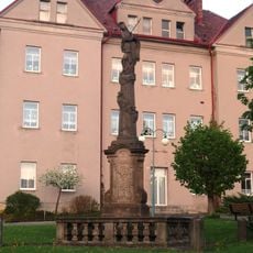
Sloup se sochou Panny Marie Bolestné
1.3 km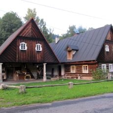
Kovárna Nízká Srbská
2 km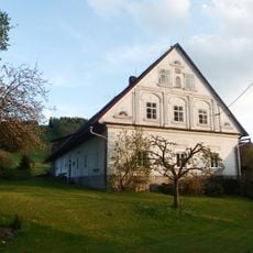
Usedlost čp. 24 a 108
1.2 km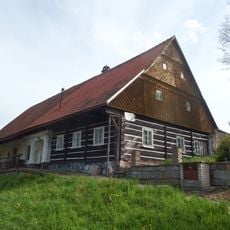
Zemědělský dvůr čp. 41
1.7 km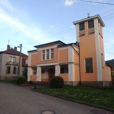
Hussite church
1.3 km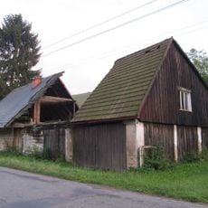
Usedlost čp. 24
2 km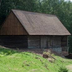
Wooden barn in Pstrążna
2 km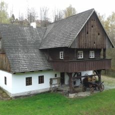
Old inn from Szalejów Dolny in museum in Kudowa Zdrój-Pstrążna
1.9 km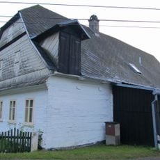
Kubečkova fara
1.5 km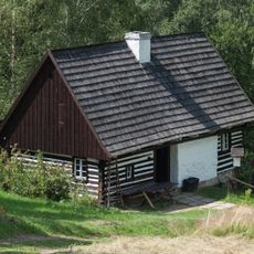
Cottage from Nowa Łomnica in museum in Kudowa Zdrój-Pstrążna
2 km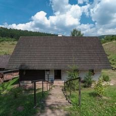
Cottage from Kudowa-Zdrój in museum in Kudowa Zdrój-Pstrążna
1.9 kmReviews
Visited this place? Tap the stars to rate it and share your experience / photos with the community! Try now! You can cancel it anytime.
Discover hidden gems everywhere you go!
From secret cafés to breathtaking viewpoints, skip the crowded tourist spots and find places that match your style. Our app makes it easy with voice search, smart filtering, route optimization, and insider tips from travelers worldwide. Download now for the complete mobile experience.

A unique approach to discovering new places❞
— Le Figaro
All the places worth exploring❞
— France Info
A tailor-made excursion in just a few clicks❞
— 20 Minutes