
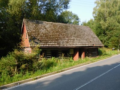
Rudník 243, house in Trutnov District
Location: Rudník
Address: Rudník 243, 543 72 Rudník
GPS coordinates: 50.58548,15.73257
Latest update: March 3, 2025 06:13
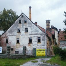
Rudník chateau/brewery
1.1 km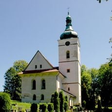
Church of Saint Wenceslaus
1.3 km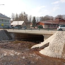
Bridge of I/14 road over the Bolkovský potok in Rudník near house no. 54
834 m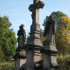
Sousoší Kalvárie
586 m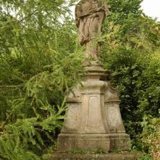
Socha svatého Jana Nepomuckého
1.3 km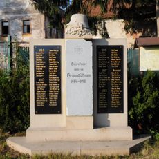
World War I memorial in Rudník
1.1 km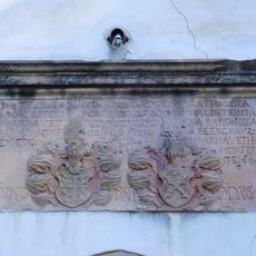
Relief with coats of arms of Hannibal Waldstein and Kateřina Berková z Dubé
1.2 km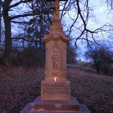
Lath's cross
624 m
Dům čp. 482
1.2 km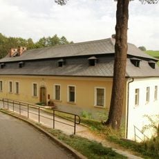
Rectory in Rudník
1.2 km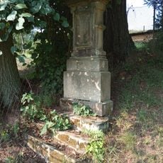
Cross in Rudník
261 m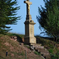
Wayside cross in Rudník
916 m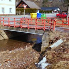
Bridge over Luční potok in Rudník near no. 239
950 m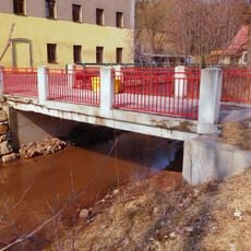
Bridge over Luční potok in Rudník near no. 54
829 m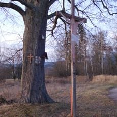
Cross near Janovice
1.1 km
Vycházkový okruh Pastviny
852 m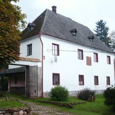
Tvrz
364 m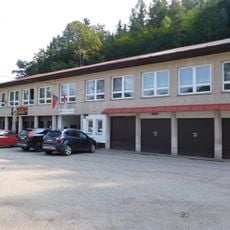
Rudník municipal office
936 m
Usedlost čp. 24
1.2 km
Rudník 128
1.1 km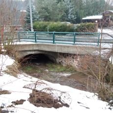
Bridge of road I/14 over the Bolkovský potok in Rudník near house no. 129
1 km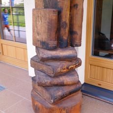
Sculpture in front of library in Rudník
770 m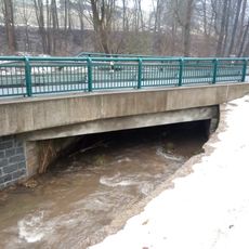
Bridge of road I/14 over the Bolkovský potok in Rudník near house no. 449
915 m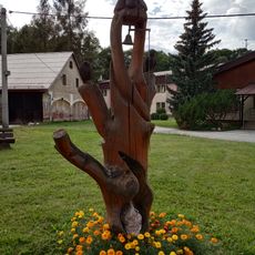
Bell tower in Rudník
839 m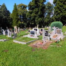
Cemetery in Rudník
1.3 km
Library in Rudník
769 m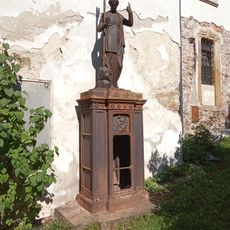
Eugenie Erich gravestone
1.2 km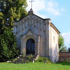
Cemetery chapel in Rudník
1.3 kmReviews
Visited this place? Tap the stars to rate it and share your experience / photos with the community! Try now! You can cancel it anytime.
Discover hidden gems everywhere you go!
From secret cafés to breathtaking viewpoints, skip the crowded tourist spots and find places that match your style. Our app makes it easy with voice search, smart filtering, route optimization, and insider tips from travelers worldwide. Download now for the complete mobile experience.

A unique approach to discovering new places❞
— Le Figaro
All the places worth exploring❞
— France Info
A tailor-made excursion in just a few clicks❞
— 20 Minutes