
Heider Umland, amt in Germany
Location: Dithmarschen
Website: http://amt-heider-umland.de
GPS coordinates: 54.15000,9.06700
Latest update: March 3, 2025 11:51
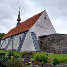
St.-Andreas-Kirche
10 km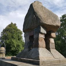
Dusenddüwelswarf
2.7 km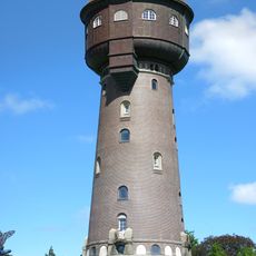
Wasserturm Heide
5.7 km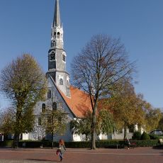
St. Jürgen
5.2 km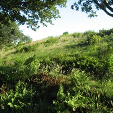
Stellerburg
9.7 km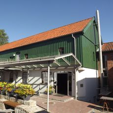
Museumsinsel Lüttenheid
5.2 km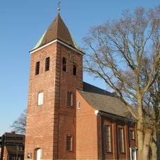
St.-Nicholas church
4.8 km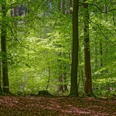
Riesewohld und angrenzende Flächen
9.7 km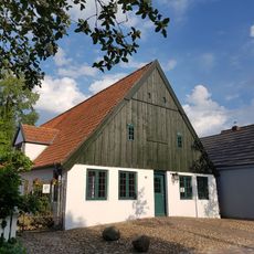
Klaus-Groth-Museum
5.1 km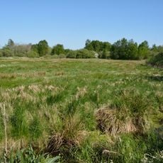
Fieler Moor
4.9 km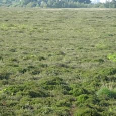
Weißes Moor
11.2 km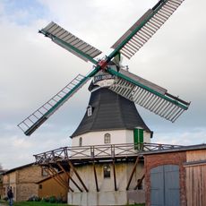
Windmühle „Aurora“
9.8 km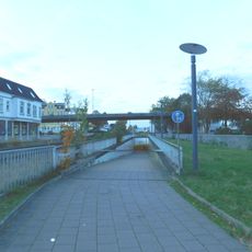
Stadtbrücke Heide
5.6 km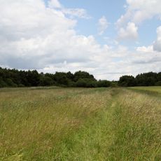
Weißes Moor (SH)
11.2 km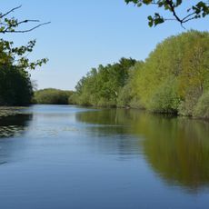
NSG Fieler Moor
5 km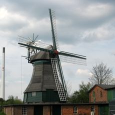
Windmühle Margaretha
658 m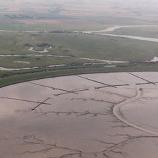
Wöhrdener Loch / Speicherkoog Dithmarschen
8.1 km
Hans-Ludwig-Ehrig-Stadion
4.5 km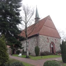
Marienkirche
600 m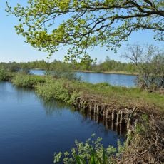
Ostroher/Süderholmer Moor
8.4 km
Steller Burg
9.7 km
Katharinenkirche
7.9 km
Am Kattberg 5
15 km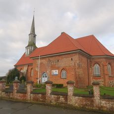
St. Jacobi
10.9 km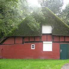
Ehem. Kate Dodeck
696 m
Gebäude des Klaus-Groth-Museums
5.1 km
Konzerthaus „Tivoli“
5 km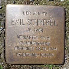
Stolperstein dedicated to Emil Schmekel
4.7 kmReviews
Visited this place? Tap the stars to rate it and share your experience / photos with the community! Try now! You can cancel it anytime.
Discover hidden gems everywhere you go!
From secret cafés to breathtaking viewpoints, skip the crowded tourist spots and find places that match your style. Our app makes it easy with voice search, smart filtering, route optimization, and insider tips from travelers worldwide. Download now for the complete mobile experience.

A unique approach to discovering new places❞
— Le Figaro
All the places worth exploring❞
— France Info
A tailor-made excursion in just a few clicks❞
— 20 Minutes