
Basdahl, Municipality in the combined municipality of Geestequelle in the district of Rotenburg (Wümme) in Lower Saxony, Germany
Location: Geestequelle
Location: Rotenburg (Wümme) district
Elevation above the sea: 15 m
Website: https://basdahl.de
GPS coordinates: 53.44147,9.00101
Latest update: March 3, 2025 02:59
Bremervörde Castle
11 km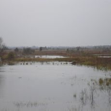
Huvenhoopsmoor
10.2 km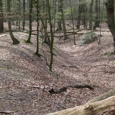
Monsilienburg
9.8 km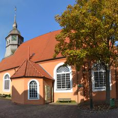
St.-Liborius-Kirche
10.9 km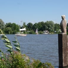
Natur- und Erlebnispark Bremervörde
9.9 km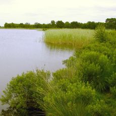
Wollingster See und Randmoore
9.2 km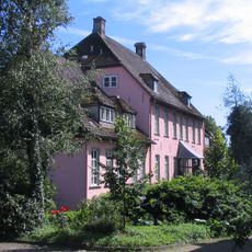
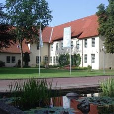
Dammgut
5.9 km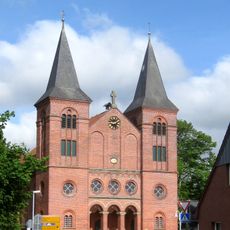
Fabian- und Sebastian-Kirche
12.1 km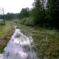
Springmoor
12.2 km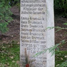
Jüdischer Friedhof
12.3 km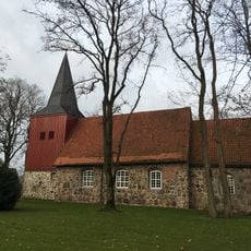
Gangolf-Kirche
5.5 km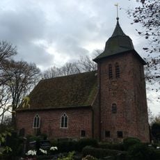
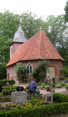
St.-Christophorus-Kirche
1.4 km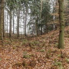
Altenburg
9.4 km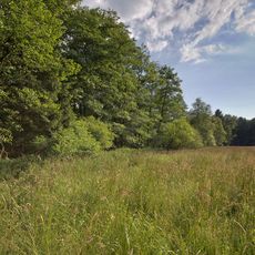
Östliche Malse
3.7 km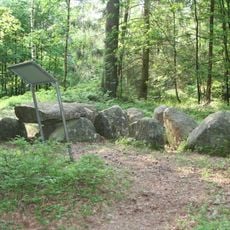
Großsteingräber bei Steden
11.7 km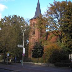
Pauluskirche
6.6 km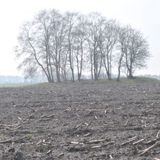
Großsteingrab Engeo 2
8.1 km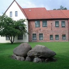
Steinkiste von Farven
11 km
Großsteingräber bei Oerel
5.9 km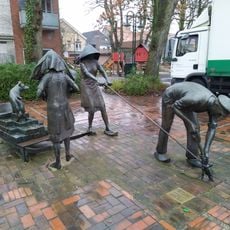
Menschen im Moor
10.9 km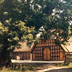
Open Air Museum Frelsdorfer Brink
8.7 km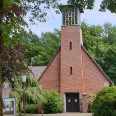
Bethlehem church
6.4 km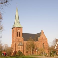
Erlöserkirche
7.3 km
Wollingster See mit Randmoor
8.8 km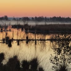
Huvenhoopssee, Huvenhoopsmoor
9.6 km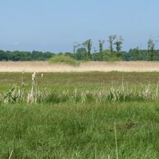
Niederung von Geeste und Grove
11.4 km
Wassertrinker
10.8 km
Pegel Bremervörde
11.2 kmReviews
Visited this place? Tap the stars to rate it and share your experience / photos with the community! Try now! You can cancel it anytime.
Discover hidden gems everywhere you go!
From secret cafés to breathtaking viewpoints, skip the crowded tourist spots and find places that match your style. Our app makes it easy with voice search, smart filtering, route optimization, and insider tips from travelers worldwide. Download now for the complete mobile experience.

A unique approach to discovering new places❞
— Le Figaro
All the places worth exploring❞
— France Info
A tailor-made excursion in just a few clicks❞
— 20 Minutes