
Tuchenbach, municipality of Germany
Location: Fürth
Elevation above the sea: 345 m
Part of: Verwaltungsgemeinschaft Obermichelbach-Tuchenbach
Website: http://tuchenbach.de
GPS coordinates: 49.52815,10.86200
Latest update: March 7, 2025 10:49
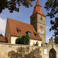
St. Veit
2.4 km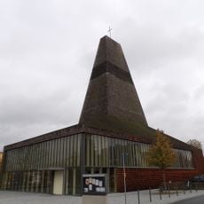
Evangelische Stadtkirche
4.5 km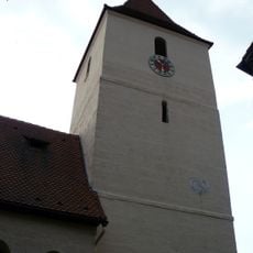
Heilig-Geist-Kirche
3.4 km
St. Wolfgang (Puschendorf)
2.5 km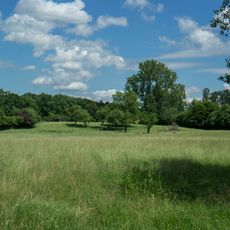
Turmhügel Hausen
4 km
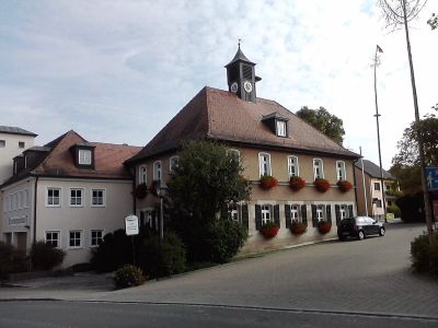
Altes Rathaus
4.7 km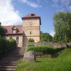
St. Veit
4.3 km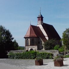
Evangelisch-lutherische Pfarrkirche St. Wolfgang
2.5 km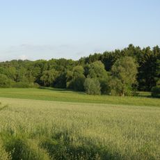
LSG Obermichelbach-Puschendorf-Tuchenbach
1.5 km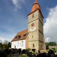
Evangelisch-lutherische Pfarrkirche St. Veit
2.4 km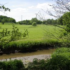
Seukendorf-Veitsbronn
2.5 km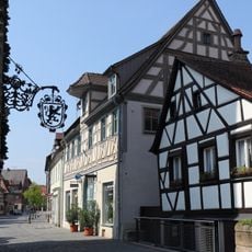
Hauptstraße 14
4.7 km
Hauptstraße 23
4.7 km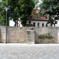
Friedhofsmauer Burgstallstraße 12 in Obermichelbach
3.4 km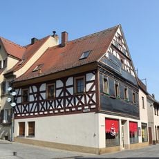
Hauptstraße 10
4.7 km
Hauptstraße 15
4.7 km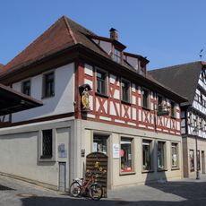
Hauptstraße 6
4.7 km
Hauptstraße 4
4.7 km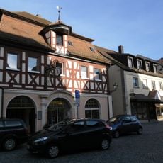
Hauptstraße 26
4.8 km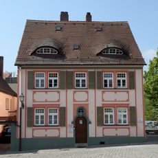
Marktplatz 7 (Herzogenaurach)
4.8 km
Marktplatz 6 (Herzogenaurach)
4.8 km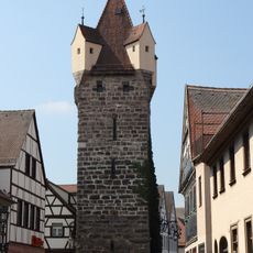
Fehnturm
4.7 km
Hauptstraße 7
4.7 km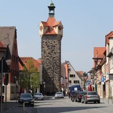
Türmersturm (Herzogenaurach)
4.8 km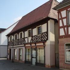
Hauptstraße 3
4.7 km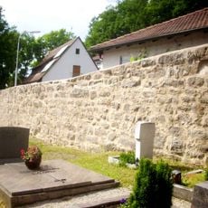
Friedhofsmauer Höllenberg 1 in Langenzenn
4.3 km
Erlanger Straße 5
4.7 km
Marktplatz 4
4.8 kmReviews
Visited this place? Tap the stars to rate it and share your experience / photos with the community! Try now! You can cancel it anytime.
Discover hidden gems everywhere you go!
From secret cafés to breathtaking viewpoints, skip the crowded tourist spots and find places that match your style. Our app makes it easy with voice search, smart filtering, route optimization, and insider tips from travelers worldwide. Download now for the complete mobile experience.

A unique approach to discovering new places❞
— Le Figaro
All the places worth exploring❞
— France Info
A tailor-made excursion in just a few clicks❞
— 20 Minutes