
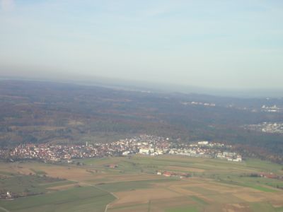
Steinenbronn, municipality in Baden-Württemberg, Germany
Location: Böblingen district
Location: Waldenbuch/Steinenbronn GVV
Elevation above the sea: 431 m
Website: http://www.steinenbronn.de
Website: http://steinenbronn.de
GPS coordinates: 48.66472,9.12250
Latest update: March 7, 2025 10:57
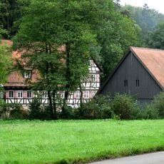
Mäulesmühle
2.1 km
Museum Ritter (Waldenbuch)
2.9 km
Schloss Waldenbuch
3.1 km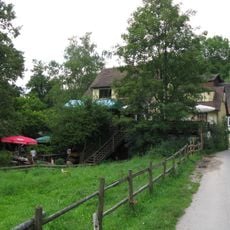
Eselsmühle
2.5 km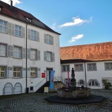
Museum der Alltagskultur
3.1 km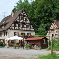
Koch's Mill
3 km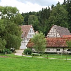
Schlechtsmühle
1.1 km
Seebruckenmühle
1.6 km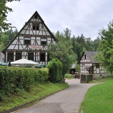
Schlösslesmühle
1.5 km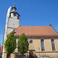
St. Veit
3.1 km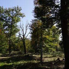
Neuweiler Viehweide
3 km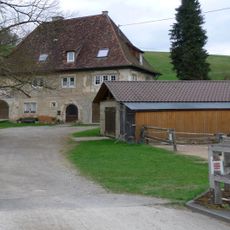
Obere Mühle
2.6 km
Obere Kleinmichelesmühle
4.1 km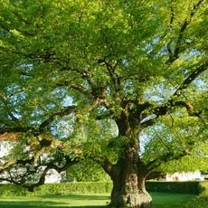
Linde am Steinbaß
4 km
Peter-und-Paul-Kirche
3.5 km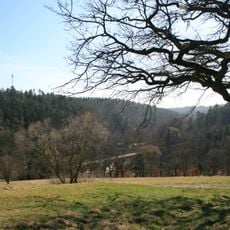
Siebenmühlental
2 km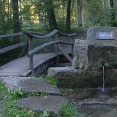
LSG 'Glemswald' vom 16.10.1995
1.8 km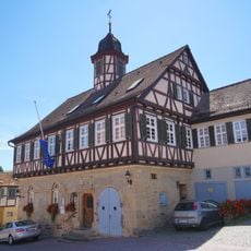
Rathaus
3.2 km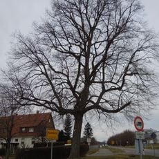
Linde an der Lindenstraße
416 m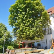
2 Kastanien im Schlosshof
3.1 km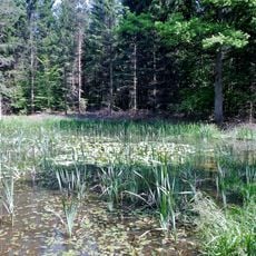
Feuchtgebiet am Alten Stuttgarter Weg
3 km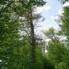
Waldbiotop Eichen-Altholz NO Schönaich
2.8 km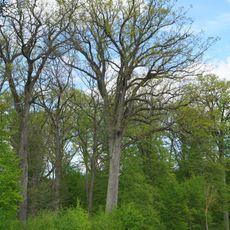
Starke Eiche Obere Elsenhalde
3.3 km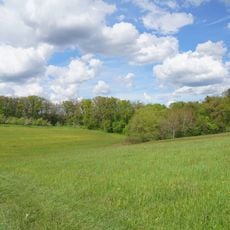
Pflanzenstandort Buchenklinge/Egerten
3.4 km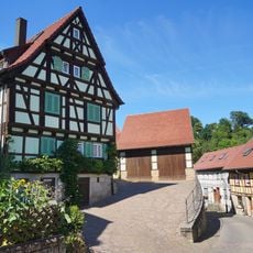
Schafhof
3.2 km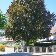
Blutbuche an der Aich
3 km
Viadukt bei der Mäulesmühle
2.3 km
Pfarrscheuer
3.1 kmReviews
Visited this place? Tap the stars to rate it and share your experience / photos with the community! Try now! You can cancel it anytime.
Discover hidden gems everywhere you go!
From secret cafés to breathtaking viewpoints, skip the crowded tourist spots and find places that match your style. Our app makes it easy with voice search, smart filtering, route optimization, and insider tips from travelers worldwide. Download now for the complete mobile experience.

A unique approach to discovering new places❞
— Le Figaro
All the places worth exploring❞
— France Info
A tailor-made excursion in just a few clicks❞
— 20 Minutes