
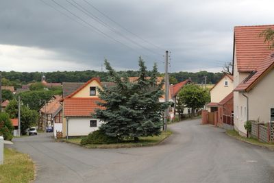
Milda, municipality of Germany
Location: Saale-Holzland-Kreis
Elevation above the sea: 405 m
Website: https://vg-suedliches-saaletal.de/index.php/mitgliedsgemeinden/milda
GPS coordinates: 50.85581,11.46317
Latest update: March 8, 2025 09:01
Leutratal und Cospoth
6.4 km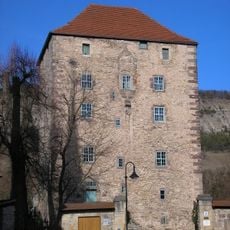
Kemenate Reinstädt
5.2 km
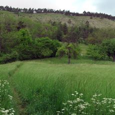
Jenaer Forst
6.2 km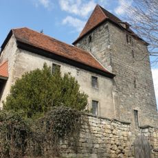
St. Nikolaus (Leutra)
7.3 km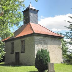
Trinitatis-Kirche
4 km
St. Michael
5.3 km
St. Maria
6.1 km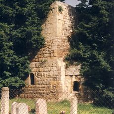
Dorfkirche Dürrengleina
5.3 km
Spitzenberg-Schießplatz Rothenstein-Borntal
7.7 km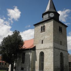
Kirche Christi Himmelfahrt
2.7 km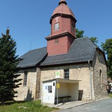
Saint Hubertus Church
6.3 km
St. Jakobus
112 m
St. Bonifatius
6.8 km
St. Petrus (Zwabitz)
7.6 km
Herrenhaus Altenberga
6.1 km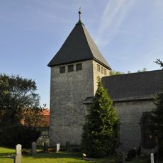
Martinskirche Meckfeld
1.9 km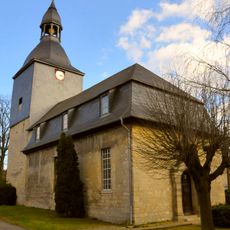
St. Michaelis (Bucha)
4.4 km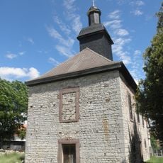
St. Michaelis
1.8 km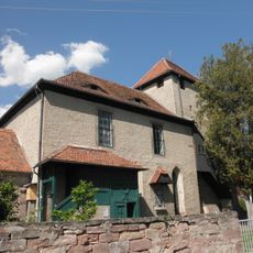
St. Peter und Paul (Gumperda)
6.7 km
St. Elisabeth
5.2 km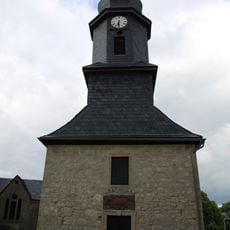
Dorfkirche Schorba
2.6 km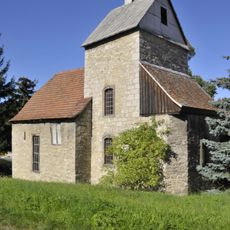
Dorfkirche Tromlitz
2.9 km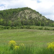
Schönberg
4.2 km
Dorfkirche Söllnitz
3.1 km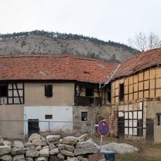
Obermühle Leutra
7.7 km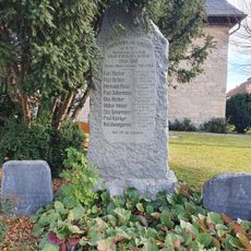
War memorial Bucha (near Jena)
4.3 km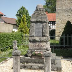
War memorial Geunitz
5.2 km
Garden of Silence
3.8 kmReviews
Visited this place? Tap the stars to rate it and share your experience / photos with the community! Try now! You can cancel it anytime.
Discover hidden gems everywhere you go!
From secret cafés to breathtaking viewpoints, skip the crowded tourist spots and find places that match your style. Our app makes it easy with voice search, smart filtering, route optimization, and insider tips from travelers worldwide. Download now for the complete mobile experience.

A unique approach to discovering new places❞
— Le Figaro
All the places worth exploring❞
— France Info
A tailor-made excursion in just a few clicks❞
— 20 Minutes