
Uelsen, municipality of Germany
Location: County of Bentheim
Location: Uelsen
Elevation above the sea: 45 m
Shares border with: Halle, Getelo, Neuenhaus, Wilsum
Website: http://uelsen.de
GPS coordinates: 52.50000,6.86667
Latest update: March 3, 2025 02:47

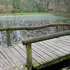
Springendal
7.5 km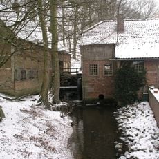
Molen van Bels
6.2 km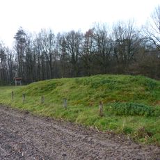
Dolmen of Mander
5.1 km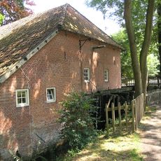
Molen van Frans
6.2 km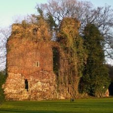
Burg Lage
7.4 km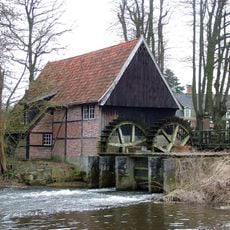
Lage watermill
7.3 km
Poascheberg
4.7 km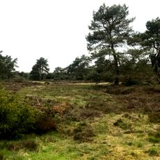
Itterbecker Heide
5.7 km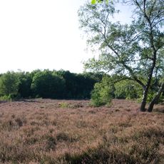
Hügelgräberheide Halle-Hesingen
5.5 km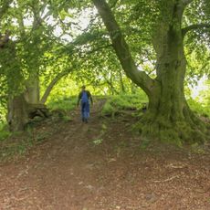
Burg Grasdorf
8.7 km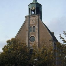
Reformierte Kirche Neuenhaus
6.8 km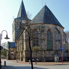
Evangelisch Reformierte Kirche Uelsen
1.5 km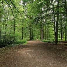
Reiherkolonie Lage
7.6 km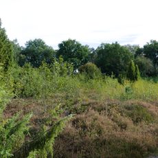
Brünas Heide
7.1 km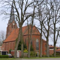
Mariä Himmelfahrt
6.9 km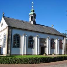
Reformierte Kirche
7.2 km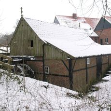
De Mast, Vasse
8.4 km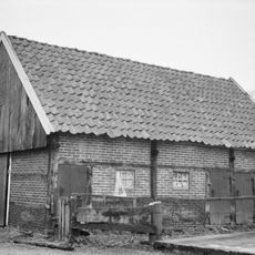
Denekamperweg 151, Tubbergen
7.7 km
Vakwerkschuur; een geveltop met heide gedekt
8 km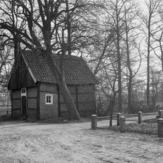
Erve Nijhuis
6.8 km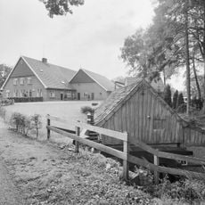
Erve de mast
8.4 km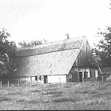
Boerderij, grotendeels in vakwerk, met houten topgevels, die iets overkraagd zijn. Achterbaander in underschoer
7.7 km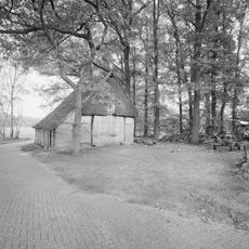
Hooidijk 49, Hezingen
6.7 km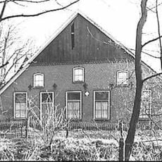
Vasserweg 32, Nutter
8.3 km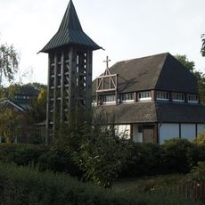
Sankt Johannes
6.7 km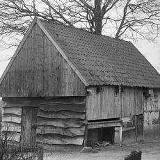
Gaaf eenbeukig vakwerkschuurtje
7.7 km
Boerderij met een bovenkamer in vakwerk
7.7 km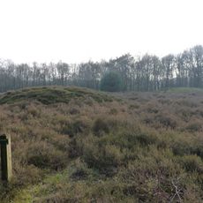
Terrein waarin twee grafheuvels en urnenveld
4.9 kmReviews
Visited this place? Tap the stars to rate it and share your experience / photos with the community! Try now! You can cancel it anytime.
Discover hidden gems everywhere you go!
From secret cafés to breathtaking viewpoints, skip the crowded tourist spots and find places that match your style. Our app makes it easy with voice search, smart filtering, route optimization, and insider tips from travelers worldwide. Download now for the complete mobile experience.

A unique approach to discovering new places❞
— Le Figaro
All the places worth exploring❞
— France Info
A tailor-made excursion in just a few clicks❞
— 20 Minutes