
Lissendorf, municipality of Germany
Location: Vulkaneifel
Elevation above the sea: 430 m
Website: http://www.lissendorf.de
Website: http://lissendorf.de
GPS coordinates: 50.31611,6.60778
Latest update: April 2, 2025 06:56
Adenauervilla
7.5 km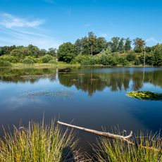
Eichholzmaar
5.8 km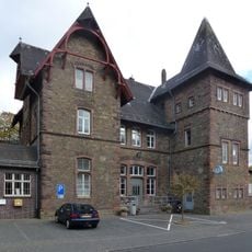
Jünkerath train station
3.7 km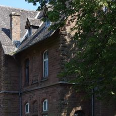
Alter Bahnhof Hillesheim
4.3 km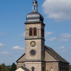
St. Martin (Hillesheim)
5.3 km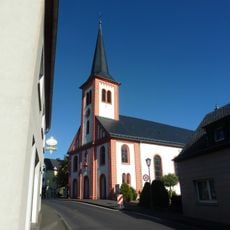
Saint Joseph Church
6.7 km
Jünkerath Railway Museum
3 km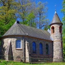
Protestant Church
3.3 km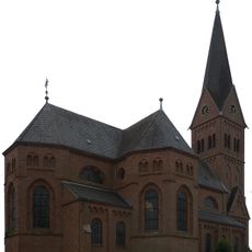
Heiligstes Herz Jesu
6 km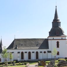
St. Michael
4.2 km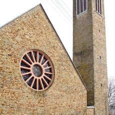
St. Antonius
3.4 km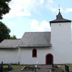
St. Hubertus
6.1 km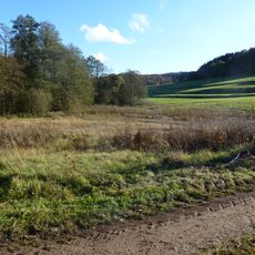
Duppacher Maar
7.3 km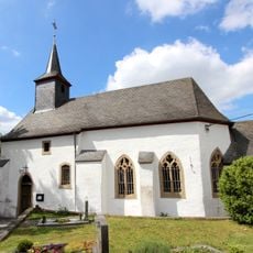
St. Lucia
8.5 km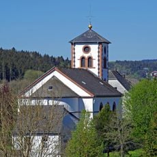
Kreuzauffindung
5.1 km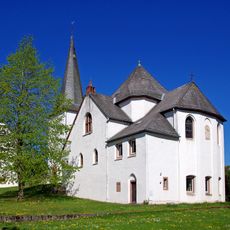
St. Medardus
5.4 km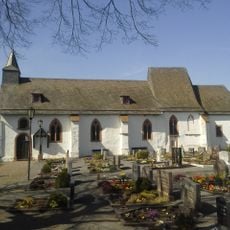
Wiesbaum cemetery chapel
5.3 km
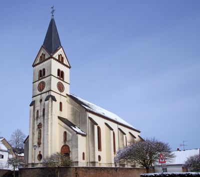
St. Dionysius
325 m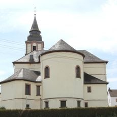
St. Hubertus (Duppach)
6.9 km
St. Paul
3.2 km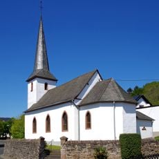
St. Margareta (Bolsdorf)
5.9 km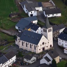
St. Antonius Abt
7.1 km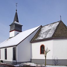
St. Nikolaus
3.6 km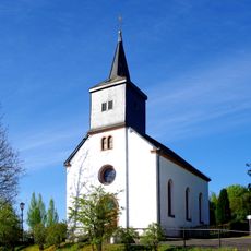
St. Matthias
6.6 km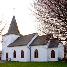
St. Hubertus
1.1 km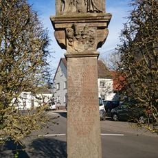
Kreuz für Johann Oswald Mohr von Wald
5.3 km
Mäuerchenberg, Hierneberg und Pinnert bei Gönnersdorf
2 km
Baumberg bei Wiesbaum
4.3 kmReviews
Visited this place? Tap the stars to rate it and share your experience / photos with the community! Try now! You can cancel it anytime.
Discover hidden gems everywhere you go!
From secret cafés to breathtaking viewpoints, skip the crowded tourist spots and find places that match your style. Our app makes it easy with voice search, smart filtering, route optimization, and insider tips from travelers worldwide. Download now for the complete mobile experience.

A unique approach to discovering new places❞
— Le Figaro
All the places worth exploring❞
— France Info
A tailor-made excursion in just a few clicks❞
— 20 Minutes