
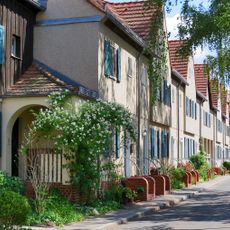
Konradshöhe, locality of Berlin
Location: Reinickendorf
Elevation above the sea: 39 m
Shares border with: Tegel, Hakenfelde, Heiligensee
GPS coordinates: 52.58330,13.23330
Latest update: March 6, 2025 09:25

Waldsiedlung Hakenfelde
2.3 km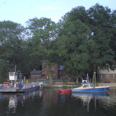
Scharfenberg
1.6 km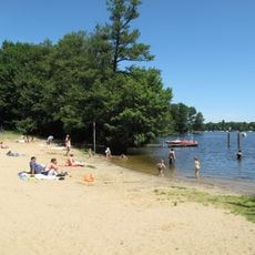
Bürgerablage
1.5 km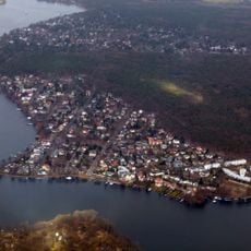
Tegelort
1.1 km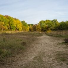
Baumberge
1.7 km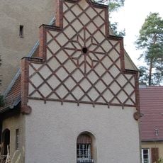
Jesus-Christus-Kirche
500 m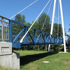
Aalemannkanalbrücke
1.4 km
Burgsdorff-Lärche
1.5 km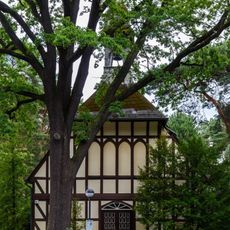
Wichernkirche (Berlin)
2.5 km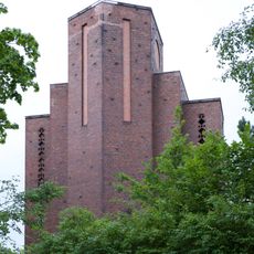
Saint Agnes Chapel
481 m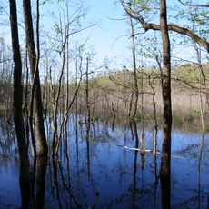
Teufelsbruch und Nebenmoore
2.4 km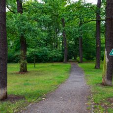
Waldpark Hakenfelder Straße
2.6 km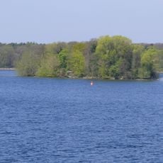
Inseln im Tegeler See
2 km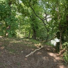
Tegeler Forst
1 km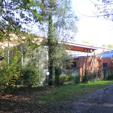
Teufelsbruch substation
1.5 km
Teufelsbruch
2.3 km
Glühwürmchengrund und Immenweide
2 km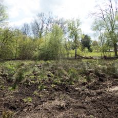
Glühwürmchengrund
2 km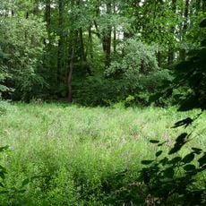
Immenweide
1.9 km
Pepitapromenade
2.6 km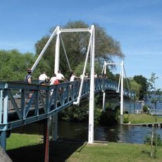
Oberhavelsteg
1.3 km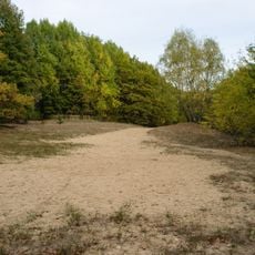
FFH-Gebiet Baumberge
1.7 km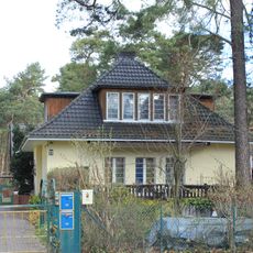
Wohnhaus Am Krähenberg 8
686 m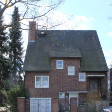
Wohnhaus & Bootssteg Am Krähenberg 45
994 m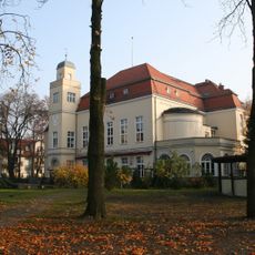
Schützenhaus Spandau Niederneuendorfer Allee 12-13, Werderstraße
2.2 km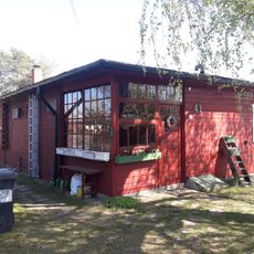
Siedlerlaube Elkartweg 10
1.8 km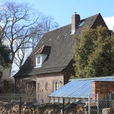
Wohnhaus Am Krähenberg 43A
985 m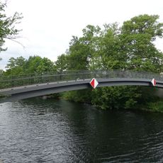
Maselake Canal Footbridge
2.5 kmReviews
Visited this place? Tap the stars to rate it and share your experience / photos with the community! Try now! You can cancel it anytime.
Discover hidden gems everywhere you go!
From secret cafés to breathtaking viewpoints, skip the crowded tourist spots and find places that match your style. Our app makes it easy with voice search, smart filtering, route optimization, and insider tips from travelers worldwide. Download now for the complete mobile experience.

A unique approach to discovering new places❞
— Le Figaro
All the places worth exploring❞
— France Info
A tailor-made excursion in just a few clicks❞
— 20 Minutes