
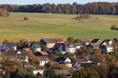
Ingelbach, municipality of Germany
Location: Altenkirchen district
Elevation above the sea: 255 m
Website: http://vg-altenkirchen.de
GPS coordinates: 50.68361,7.70750
Latest update: April 26, 2025 03:45

Marienstatt Abbey
6.7 km
Marienthal Abbey
6.4 km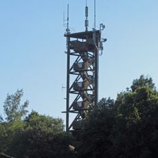
Raiffeisen Tower
7.9 km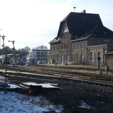
Altenkirchen (Westerw) station
4.8 km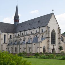
Monastery church Marienstatt
6.7 km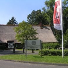
Landschaftsmuseum Westerwald
9 km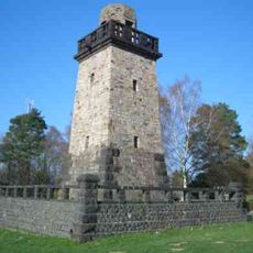
Bismarck Tower (Altenkirchen)
4.2 km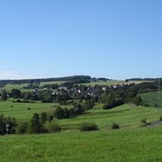
Beulskopf
7.8 km
Wilhelmstraße (Altenkirchen)
4.3 km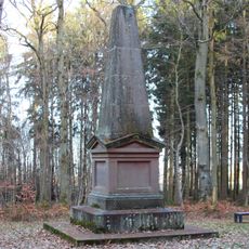
Marceau-Denkmal
7.4 km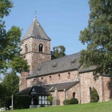
Evangelische Kirche Birnbach
8.9 km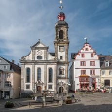
Hachenburg Abbey
8.6 km
Grube Petersbach
3.9 km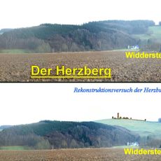
Herzburg
975 m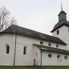
Evangelische Kirche Almersbach
6 km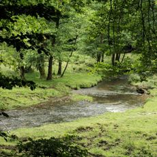
Oberes Wiedtal
8.2 km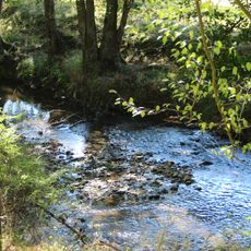
Wiedaue bei Borod
2.4 km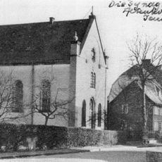
Synagoge Altenkirchen
4.1 km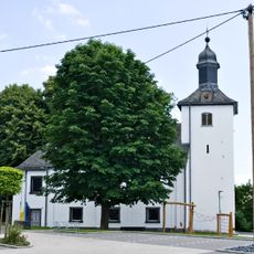
Evangelische Kirche
6.9 km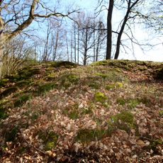
Motte Streithausen
7.7 km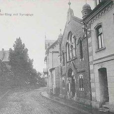
Synagogue
8.5 km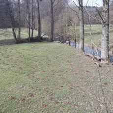
Mühlengraben
1.7 km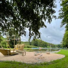
Waldschwimmbad Thalhauser Mühle
8.4 km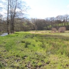
In der Rommerswiese
911 m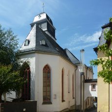
Schlosskirche
8.7 km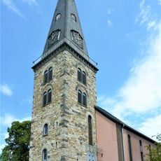
Christuskirche
4.4 km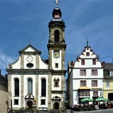
Maria Himmelfahrt
8.6 km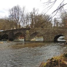
Alte Nisterbrücke
6.4 kmReviews
Visited this place? Tap the stars to rate it and share your experience / photos with the community! Try now! You can cancel it anytime.
Discover hidden gems everywhere you go!
From secret cafés to breathtaking viewpoints, skip the crowded tourist spots and find places that match your style. Our app makes it easy with voice search, smart filtering, route optimization, and insider tips from travelers worldwide. Download now for the complete mobile experience.

A unique approach to discovering new places❞
— Le Figaro
All the places worth exploring❞
— France Info
A tailor-made excursion in just a few clicks❞
— 20 Minutes