
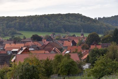
Gittelde, municipality of Germany
Location: Bad Grund (Harz)
Elevation above the sea: 246 m
Website: http://www.gittelde.de/
Website: http://gittelde.de
GPS coordinates: 51.79888,10.18790
Latest update: March 8, 2025 14:51
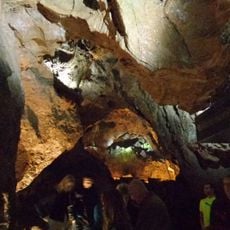
Iberg Dripstone Cave
4.9 km
Stauffenburg
2.9 km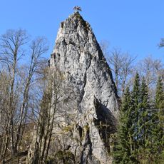
Hübichenstein
4 km
19-Lachter Tunnel
7 km
Iberg
5 km
Burg Windhausen
2.1 km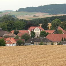
Burg Westerhof
5.9 km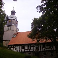
Maria-Magdalenen-Kirche
7.3 km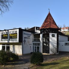
Uhrenmuseum Bad Grund
3.9 km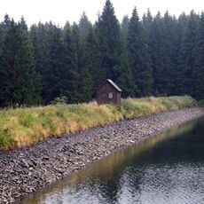
Oberer Einersberger Teich
7.9 km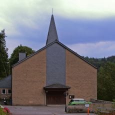
Saint Barbara Church (Bad Grund)
3.2 km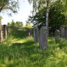
Jüdischer Friedhof
6.8 km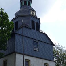
Dorfkirche Ildehausen
7 km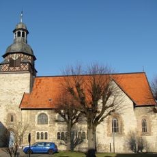
Mauritiuskirche
476 m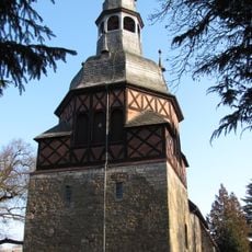
St. Johannes
204 m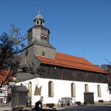
St. Antonius
3.6 km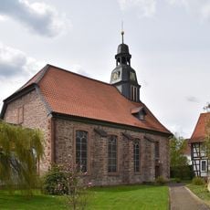
St. Georg
4.3 km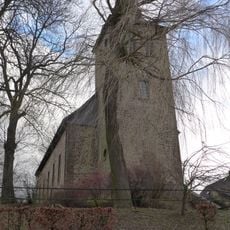
St. Alexander
5.8 km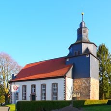
St. Martin
6.1 km
Harzhorn Römer-Schlachtfeld
6.8 km
Pipinsburg
6.9 km
Dennert-Tanne Kulk, Wildemann
7.1 km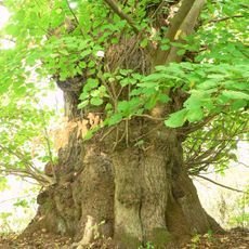
Naturdenkmal Evalinde
3 km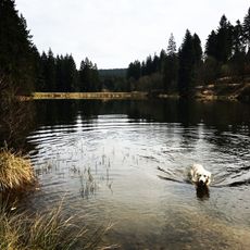
Unterer Hahnebalzer Teich
7.4 km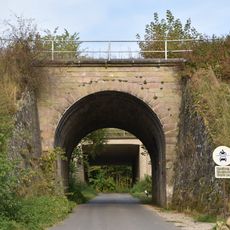
Eisenbahnbrücke Grundweg Gittelde
369 m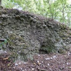
Hindenburg
3.9 km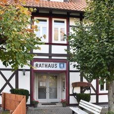
Dorfmuseum Badenhausen
3.4 km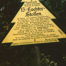
Dennert-Tanne Mundloch des 13-Lachter-Stollen, Wildemann
7.1 kmReviews
Visited this place? Tap the stars to rate it and share your experience / photos with the community! Try now! You can cancel it anytime.
Discover hidden gems everywhere you go!
From secret cafés to breathtaking viewpoints, skip the crowded tourist spots and find places that match your style. Our app makes it easy with voice search, smart filtering, route optimization, and insider tips from travelers worldwide. Download now for the complete mobile experience.

A unique approach to discovering new places❞
— Le Figaro
All the places worth exploring❞
— France Info
A tailor-made excursion in just a few clicks❞
— 20 Minutes