
Kopp, municipality of Germany
Location: Vulkaneifel
Elevation above the sea: 400 m
Website: http://gerolstein.de
GPS coordinates: 50.17750,6.58667
Latest update: March 6, 2025 10:44
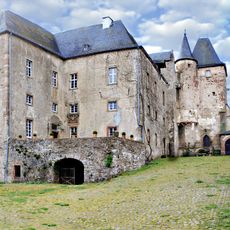
Lissingen Castle
5.8 km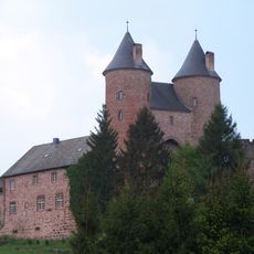
Bertradaburg
3.2 km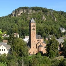
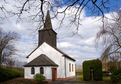
Erlöserkirche
7 km
Schönecker Schweiz
8.1 km
Villa Sarabodis
6.7 km
Wallesch-Kapelle im Dürrbachtal
6.2 km
St. Nikolaus
2.7 km
St. Peter und Paul
4.8 km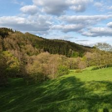
Eishöhlen und Fischbachtal bei Birresborn
1.2 km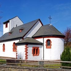
Chapel of St Rochus
7.1 km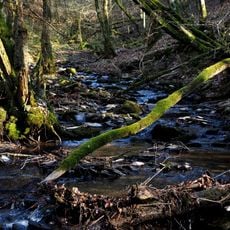
Hundsbachtal
3.5 km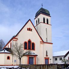
St. Margareta
7.5 km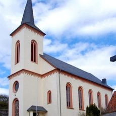
St. Nikolaus
5.3 km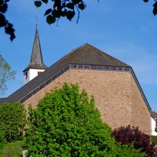
St. Maria Magdalena
5.8 km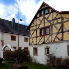
Kreisheimatmuseum Gerolstein
7 km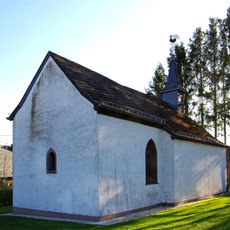
St.-Lambertus-Kapelle
7 km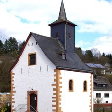
St. Antonius
7.2 km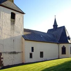
St. Jakobus
5.9 km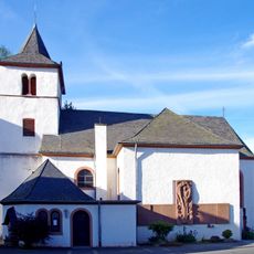
Luziakirche Mürlenbach
3.2 km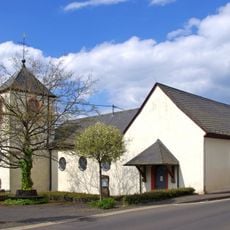
St. Johannes Baptist
6.6 km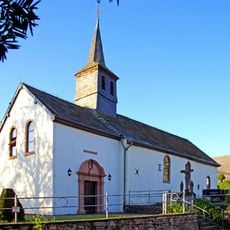
Kapelle Kreuzerhöhung
4.9 km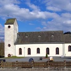
St. Margareta
5.5 km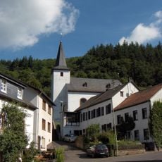
St. Stephan (Michelbach)
5.8 km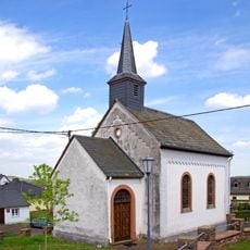
St. Lambertus
4.1 km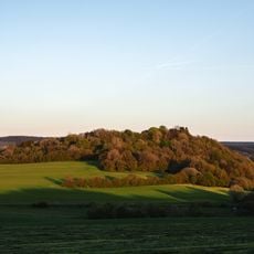
Vulkan Kalem
2.6 km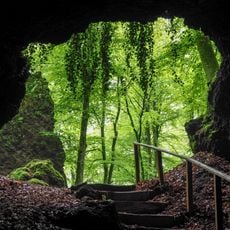
Birresborner Eishöhlen und Vulkan Kalem
1.5 km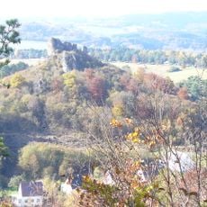
Auberg
7 km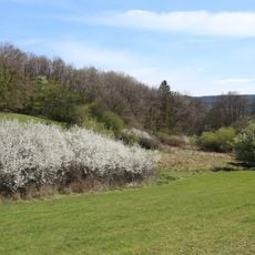
Schönecker Schweiz
8.1 kmReviews
Visited this place? Tap the stars to rate it and share your experience / photos with the community! Try now! You can cancel it anytime.
Discover hidden gems everywhere you go!
From secret cafés to breathtaking viewpoints, skip the crowded tourist spots and find places that match your style. Our app makes it easy with voice search, smart filtering, route optimization, and insider tips from travelers worldwide. Download now for the complete mobile experience.

A unique approach to discovering new places❞
— Le Figaro
All the places worth exploring❞
— France Info
A tailor-made excursion in just a few clicks❞
— 20 Minutes