
Wusterhusen, municipality of Germany
Location: Vorpommern-Greifswald District
Elevation above the sea: 35 m
Website: http://amtlubmin.de
GPS coordinates: 54.11667,13.61667
Latest update: March 2, 2025 19:54
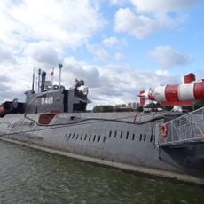
U-461
10 km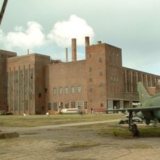
The Peenemünde Historical Technical Museum
10.2 km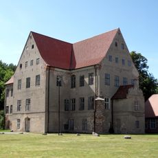
Schloss Ludwigsburg (Vorpommern)
7.2 km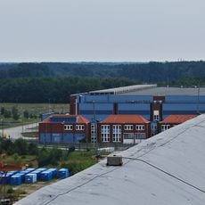
Zwischenlager Nord
4.7 km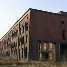
Sauerstoffwerk Peenemünde
10.6 km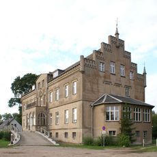
Schloss Wrangelsburg
11.3 km
Peenemünder Haken, Struck und Ruden - Gebietsteil A
9.9 km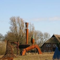
Skulpturenpark Katzow
9.7 km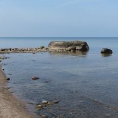
Teufelsstein bei Lubmin
2.5 km
Lanken
8.6 km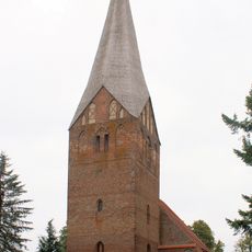
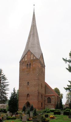
St.-Johannes-Kirche
527 m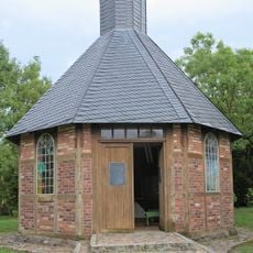
Memorial chapel
10.4 km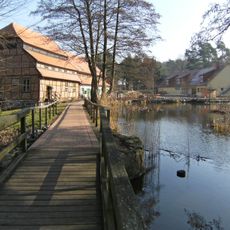
Wassermühle Hanshagen
9.1 km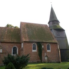
Saint Mary Church
5.7 km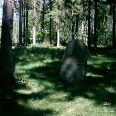
Steintanz von Netzeband
8.3 km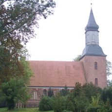
Kirche Kröslin
8.8 km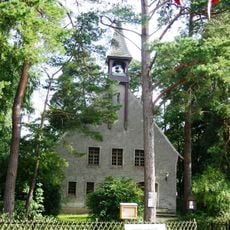
Petrikirche (Lubmin)
2 km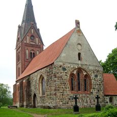
Hanshäger Kirche
9.7 km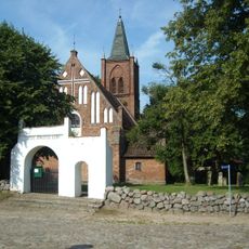
Heilig-Kreuz-Kirche (Kemnitz)
7.4 km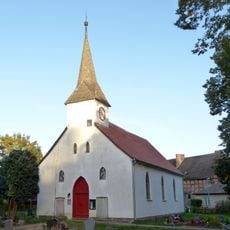
Church in Ludwigsburg
7.2 km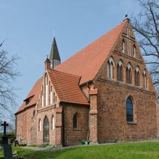
Kirche Katzow
8.4 km
Großer Wotig
10 km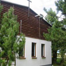
Bethlehemkirche
5.8 km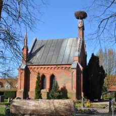
Mausoleum Ludwigsburg
7.2 km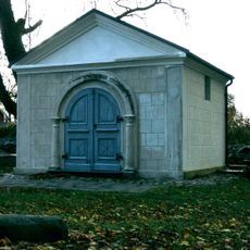
Wrangelsburg mausoleum
11.3 km
Hoher Zwerg
7.2 km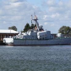
Hans Beimler
9.7 km
380 kV line Lubmin-Wolmirstedt
5 kmReviews
Visited this place? Tap the stars to rate it and share your experience / photos with the community! Try now! You can cancel it anytime.
Discover hidden gems everywhere you go!
From secret cafés to breathtaking viewpoints, skip the crowded tourist spots and find places that match your style. Our app makes it easy with voice search, smart filtering, route optimization, and insider tips from travelers worldwide. Download now for the complete mobile experience.

A unique approach to discovering new places❞
— Le Figaro
All the places worth exploring❞
— France Info
A tailor-made excursion in just a few clicks❞
— 20 Minutes