
Finkenthal, municipality of Germany
Location: Rostock District
Elevation above the sea: 33 m
Website: http://amt-gnoien.de
GPS coordinates: 53.95000,12.76667
Latest update: March 11, 2025 21:29
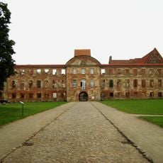
Dargun Castle
9 km
Klappbrücke Nehringen
6.6 km
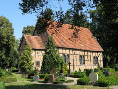
Church in Behren-Lübchin
11.1 km
Church in Nossendorf
12.6 km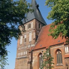
Marienkirche
4.3 km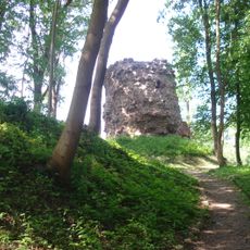
Burgruine Wasdow
5.5 km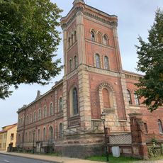
Platz des Friedens 8
7.7 km
Amtsstraße 1
7.7 km
Johanniskirche Levin
9.8 km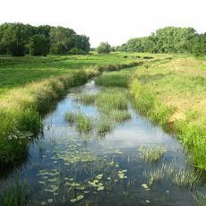
Trebeltal
7.2 km
St. Andreas Nehringen
7 km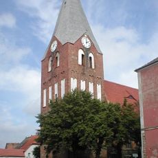
Johanneskirche
14.2 km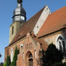
Church in Boddin
8.1 km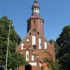
Pfarrkirche Dargun
6.9 km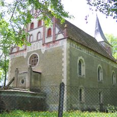
Kirche Deyelsdorf
11.2 km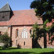
Dorfkirche Altkalen
5.9 km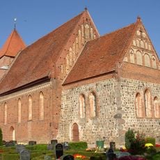
Dorfkirche Jördenstorf
12.8 km
Fangelturm
6.9 km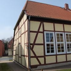
Baptistenkapelle Dargun
8.2 km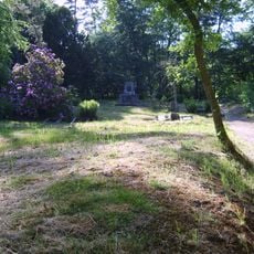
Jewish Cemetery
6.1 km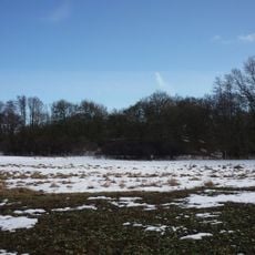
Burgwall Neu Nieköhr
10.9 km
Dorfkirche Schorrentin
10.6 km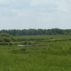
Dammer Postmoor
3.6 km
Wassermühle am Klosterdamm
8.6 km
Burgwall Beestland
9.7 km
Burgwall Altkalen
6.1 km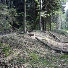
Burgwall Dargun
6 km
Trebeltal (Mecklenburgische Seenplatte)
10.2 kmReviews
Visited this place? Tap the stars to rate it and share your experience / photos with the community! Try now! You can cancel it anytime.
Discover hidden gems everywhere you go!
From secret cafés to breathtaking viewpoints, skip the crowded tourist spots and find places that match your style. Our app makes it easy with voice search, smart filtering, route optimization, and insider tips from travelers worldwide. Download now for the complete mobile experience.

A unique approach to discovering new places❞
— Le Figaro
All the places worth exploring❞
— France Info
A tailor-made excursion in just a few clicks❞
— 20 Minutes