
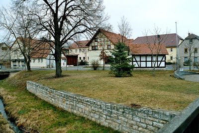
Niederzimmern, municipality of Germany
Location: Weimarer Land
Location: Grammetal
Elevation above the sea: 200 m
Website: http://niederzimmern.de
GPS coordinates: 51.00528,11.18889
Latest update: April 4, 2025 00:07
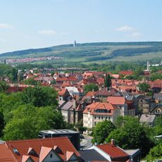
Ettersberg
4.8 km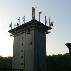
Sender Weimar
5 km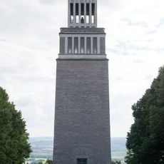
Buchenwald memorial tower
5 km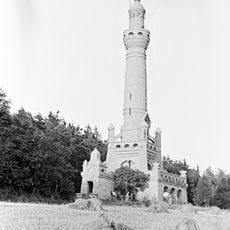
Bismarck Tower (Weimar)
4.9 km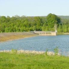
Talsperre Hopfgarten
1.4 km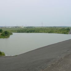
Talsperre Vieselbach
4.3 km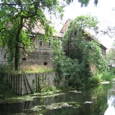
Wasserburg Ollendorf
3.3 km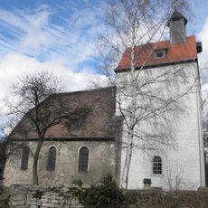
St. Bonifatius
5.3 km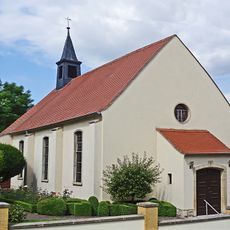
St. Maria Rosenkranzkönigin (Vieselbach)
3.1 km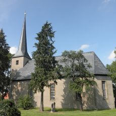
Protestant Church (Hottelstedt)
4.5 km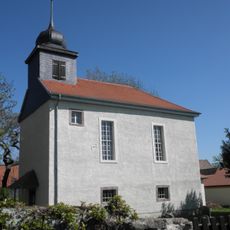
Dorfkirche Wallichen
2.7 km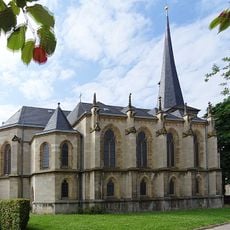
Holy Cross Church
3 km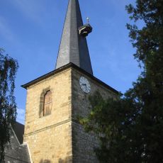
St. Philippus und Jakobus (Ollendorf)
3.3 km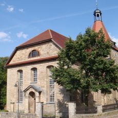
Protestant Church (Hopfgarten)
3.1 km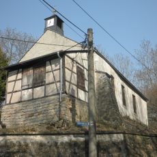
St. Pankratius
4.2 km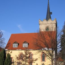
St. Wigberti
418 m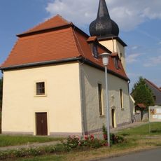
Dorfkirche Daasdorf a. Berge
5.2 km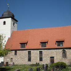
St. Bonifatius
3.9 km
St. Peter und Paul
4.7 km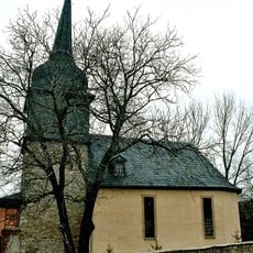
St. Nicolai (Ottstedt)
2.2 km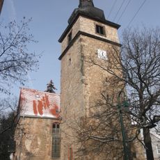
Church (Utzberg)
3.1 km
St. Trinitatis (Sohnstedt)
5.1 km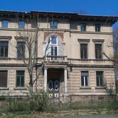
Villa Deinhardt
3.1 km
St. Georg (Ulla)
3 km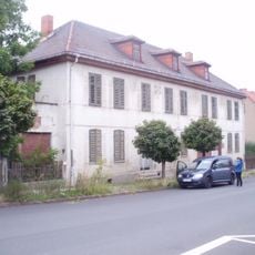
Bahnhofsallee 40
3.5 km
Buchenwald Memorial Information, Bookstore, and Cinema
4.5 km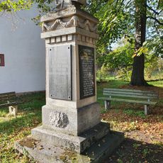
War memorial Mönchenholzhausen
4.7 km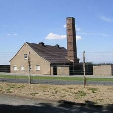
Buchenwald crematorium
4.7 kmReviews
Visited this place? Tap the stars to rate it and share your experience / photos with the community! Try now! You can cancel it anytime.
Discover hidden gems everywhere you go!
From secret cafés to breathtaking viewpoints, skip the crowded tourist spots and find places that match your style. Our app makes it easy with voice search, smart filtering, route optimization, and insider tips from travelers worldwide. Download now for the complete mobile experience.

A unique approach to discovering new places❞
— Le Figaro
All the places worth exploring❞
— France Info
A tailor-made excursion in just a few clicks❞
— 20 Minutes