
Rothenstein, human settlement in Germany
Location: Weißenburg in Bayern
Elevation above the sea: 517 m
GPS coordinates: 48.96530,11.05830
Latest update: March 30, 2025 09:24
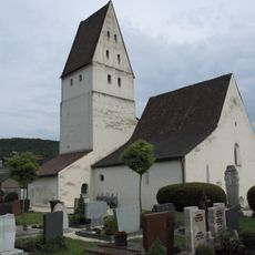
Galluskirche
6.8 km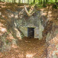
Grubschwart
2.9 km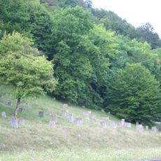
Jewish cemetery, Pappenheim
7 km
St. Marien (Pappenheim)
7 km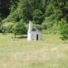
St. Gunthildis
4.4 km
Eichen-Hainbuchenwald Laubenbuch bei Rothenstein
531 m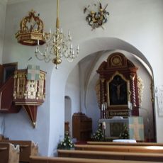
St. Michael
3.5 km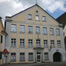
Amtsgericht Pappenheim
7 km
Brauereigasthof (Pappenheim)
6.9 km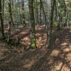
Hohlloch
4.6 km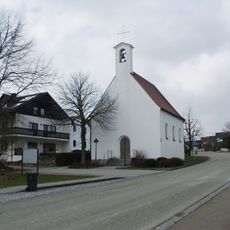
Mariä Himmelfahrt
6.1 km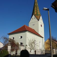
St. Martin
4.3 km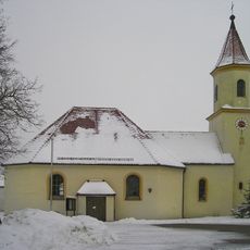
St. Sebastian und Anna
6.8 km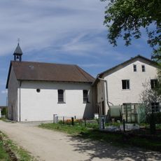
St. Ägidius
6.9 km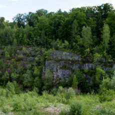
Ehemaliger Steinbruch SE von Weißenburg
5.5 km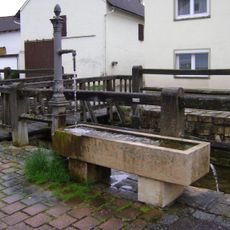
Brunnen
3.5 km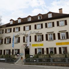
Gasthof, Hotel Krone
7 km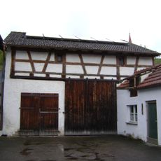
Scheune
3.5 km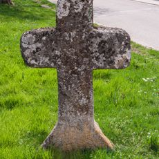
Freikreuz in Bieswang
4.4 km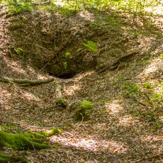
Cultural heritage D-5-7032-0060 Raitenbuch
3 km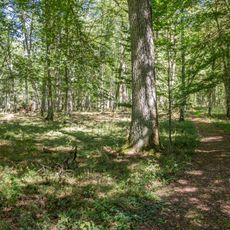
Laubenbuch
524 m
Ehemaliges markgräfliches Armenhaus
6.8 km
Erdkastell Burgsalach
6.1 km
Wohnhaus
6.8 km
Ehemaliges gräfliches Armen- und Arbeitshaus
6.8 km
Beckstraße 5
6.9 km
An der Altmühlbrücke 2
6.9 km
Ehemaliges Wohnstallhaus
6.9 kmReviews
Visited this place? Tap the stars to rate it and share your experience / photos with the community! Try now! You can cancel it anytime.
Discover hidden gems everywhere you go!
From secret cafés to breathtaking viewpoints, skip the crowded tourist spots and find places that match your style. Our app makes it easy with voice search, smart filtering, route optimization, and insider tips from travelers worldwide. Download now for the complete mobile experience.

A unique approach to discovering new places❞
— Le Figaro
All the places worth exploring❞
— France Info
A tailor-made excursion in just a few clicks❞
— 20 Minutes