
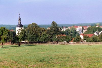
Sankt Gangloff, municipality of Germany
Location: Saale-Holzland-Kreis
Elevation above the sea: 330 m
Shares border with: Schleifreisen, Reichenbach
Website: http://vg-hermsdorf.de
GPS coordinates: 50.85556,11.90000
Latest update: March 7, 2025 06:27

Serways
6.7 km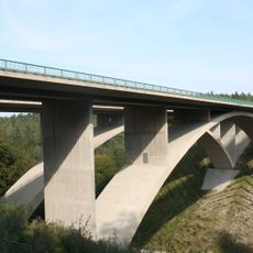
Teufelstalbrücke
6.3 km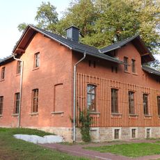
Brehm-Gedenkstätte
6.6 km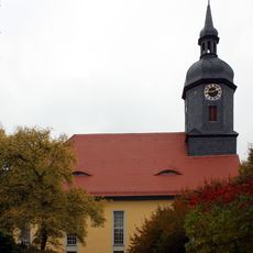
St. Salvator
5.2 km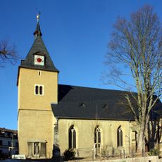
Saint Maurice Church
4.5 km
Burg Münch
4.5 km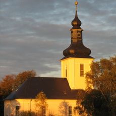
Pfarrkirche
342 m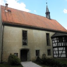
Dorfkirche Renthendorf
7.4 km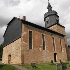
St. Nicolai (Lippersdorf)
7.8 km
Protestant Church
8.8 km
Protestant Church (Schleifreisen)
6.5 km
Dorfkirche Mörsdorf
7.2 km
Protestant Church (Schwarzbach)
6.6 km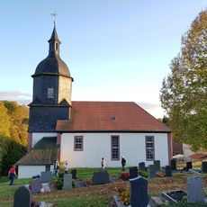
Church Lindenkreuz
1.7 km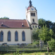
Dorfkirche Eineborn
6.2 km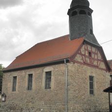
Protestant Church
9 km
Kirche Hellborn
5.1 km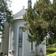
St. Peter and Paul (Kraftsdorf)
2.6 km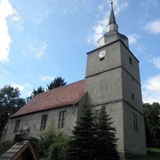
St. Trinitatis (Ottendorf)
6.2 km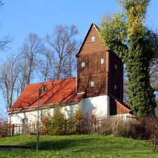
Protestant Church
3.8 km
Church Tautendorf
3.6 km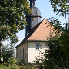
Protestant Church (Reichenbach)
2.1 km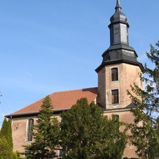
Protestant Church Waltersdorf
2.5 km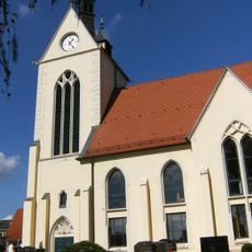
Protestant Church (Oberndorf)
3.7 km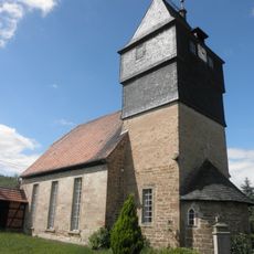
Village church Kleinebersdorf
6.2 km
BREHMS WELT - Tiere und Menschen
6.6 km
World War I memorial in Münchenbernsdorf
4.5 km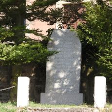
War memorial in Waltersdorf (Lindenkreuz)
2.5 kmReviews
Visited this place? Tap the stars to rate it and share your experience / photos with the community! Try now! You can cancel it anytime.
Discover hidden gems everywhere you go!
From secret cafés to breathtaking viewpoints, skip the crowded tourist spots and find places that match your style. Our app makes it easy with voice search, smart filtering, route optimization, and insider tips from travelers worldwide. Download now for the complete mobile experience.

A unique approach to discovering new places❞
— Le Figaro
All the places worth exploring❞
— France Info
A tailor-made excursion in just a few clicks❞
— 20 Minutes