
Rheider Au, river in Germany
Location: Schleswig-Holstein
GPS coordinates: 54.45000,9.33333
Latest update: November 3, 2025 18:37
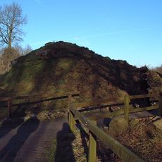
Danevirke
10.4 km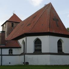
Dorfkirche Bergenhusen
8.4 km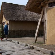
Archaeological Border complex of Hedeby and the Danevirke
7.9 km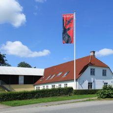
Danevirke Museum
11.3 km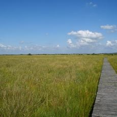
Wildes Moor bei Schwabstedt
6.6 km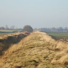
Kograben
11.5 km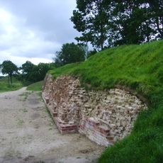
Valdemarsmuren
11.1 km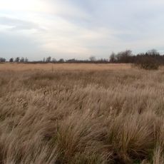
Alte Sorge-Schleife
10.9 km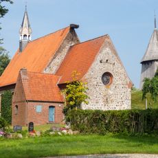
St. Jakobi
11.3 km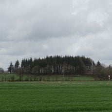
Sandesberg
5 km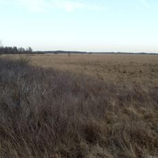
Tetenhusener Moor
12 km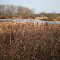
Ahrenviölfelder Westermoor
11.3 km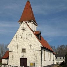
Treja church
7.2 km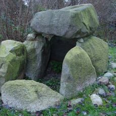
Großsteingrab Hüsby
11.5 km
Wälder bei Bergenhusen
7.2 km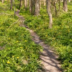
Wälder der Ostenfelder Geest
5.4 km
Kalkquellmoor bei Klein Rheide
8.3 km
Gräben der nördlichen Alten Sorge
7.7 km
Ahrenviölfelder Westermoor
11.2 km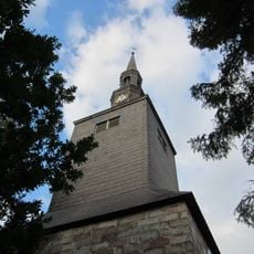
Ostenfeld Church
6.7 km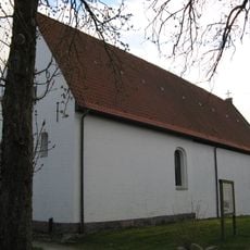
Kirche Hollingstedt
744 m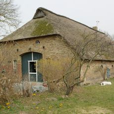
Kleine Straße 16, Fachhallenhaus
11.3 km
Hedeby-Danevirke
9.9 km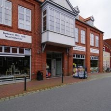
Ehemaliges Kaufhaus Carstens
11.3 km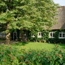
Querdielenhaus Naura
8 km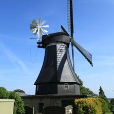
Windmühle Margaretha
8.6 km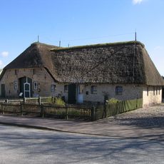
Schulstraße 1, Bauernhaus
11.4 km
Dörpstroot 11, Pastorat
8.3 kmReviews
Visited this place? Tap the stars to rate it and share your experience / photos with the community! Try now! You can cancel it anytime.
Discover hidden gems everywhere you go!
From secret cafés to breathtaking viewpoints, skip the crowded tourist spots and find places that match your style. Our app makes it easy with voice search, smart filtering, route optimization, and insider tips from travelers worldwide. Download now for the complete mobile experience.

A unique approach to discovering new places❞
— Le Figaro
All the places worth exploring❞
— France Info
A tailor-made excursion in just a few clicks❞
— 20 Minutes