Sottorf, village in Rosengarten, Lower Saxony
Location: Rosengarten
Elevation above the sea: 99 m
Part of: Leine-Heide Cycle Path
GPS coordinates: 53.42170,9.89722
Latest update: March 3, 2025 22:10

Wildpark Schwarze Berge
2.3 km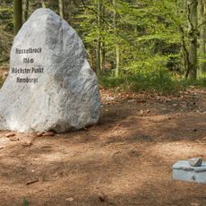
Hasselbrack
2.4 km
Freilichtmuseum am Kiekeberg
2.1 km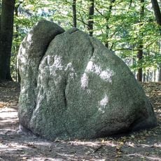
Karlstein
4.9 km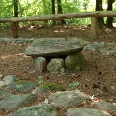
Archäologischer Wanderpfad in der Fischbeker Heide
3.7 km
Fernmeldeturm Rosengarten
3.5 km
Gannaberg
3 km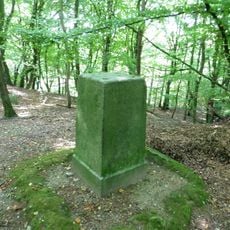
Kiekeberg
1.6 km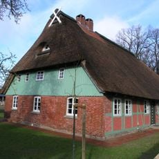
Museumsstellmacherei Langenrehm
3.6 km
Naturschutzgebiet Buchenwälder im Rosengarten
3.3 km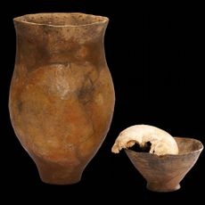
Metzendorf-Woxdorf head burial
4.3 km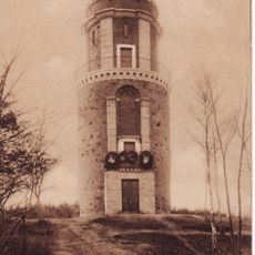
Bismarckturm (Rosengarten)
2 km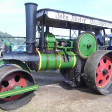
Dampf- und Traktorentreffen im Freilichtmuseum am Kiekeberg
2.1 km
St. Vinzenz
4.8 km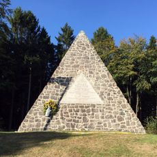
Fürstendenkmal Langenrehm
3.1 km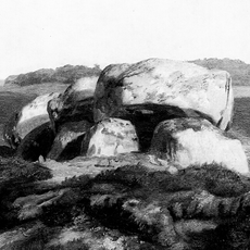
Dolmen Elstorf
4.7 km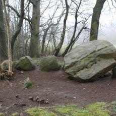
Dolmen Emsen
3.6 km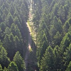
Vahrendorf Forst (Haake), Heimfeld, Eissendorf und Marmstorf
2.9 km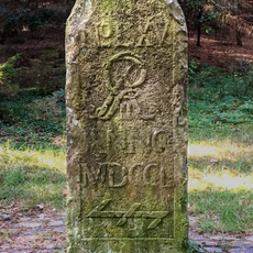
Moisburger Stein
3 km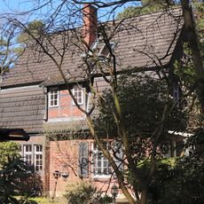
Neugrabener Heideweg 105
3.9 km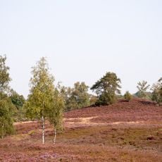
Fischbeker Heide
4.4 km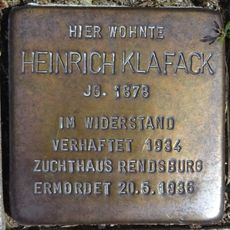
Stolperstein dedicated to Heinrich Klafack
4.9 km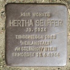
Stolperstein dedicated to Hertha Seiffer
5.1 km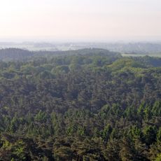
Eißendorf
3.8 km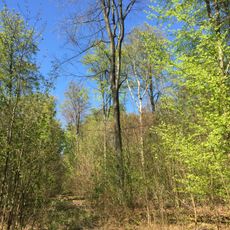
Buchenwälder in Rosengarten
3.5 km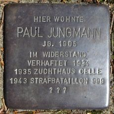
Stolperstein dedicated to Paul Jungmann
3.8 km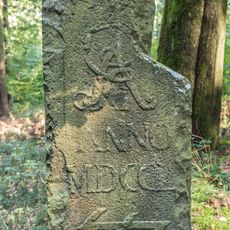
Sieverser Stein
2.9 km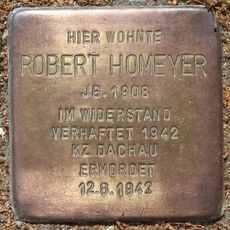
Stolperstein dedicated to Robert Homeyer
4.8 kmReviews
Visited this place? Tap the stars to rate it and share your experience / photos with the community! Try now! You can cancel it anytime.
Discover hidden gems everywhere you go!
From secret cafés to breathtaking viewpoints, skip the crowded tourist spots and find places that match your style. Our app makes it easy with voice search, smart filtering, route optimization, and insider tips from travelers worldwide. Download now for the complete mobile experience.

A unique approach to discovering new places❞
— Le Figaro
All the places worth exploring❞
— France Info
A tailor-made excursion in just a few clicks❞
— 20 Minutes