
Engenhahn, municipal district of Niedernhausen in Rheingau-Taunus-Kreis, Germany
Location: Niedernhausen
Elevation above the sea: 410 m
GPS coordinates: 50.17300,8.24922
Latest update: March 8, 2025 22:23
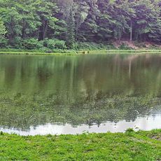
Theißtal von Niedernhausen
2.7 km
Hohe Kanzel
1.7 km
Kroneiche
2.8 km
St. Martha
106 m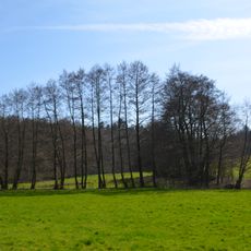
Erlensumpf im Gerloh bei Idstein
2.6 km
Türmchen
3.6 km
Kirche Neuhof
2.9 km
Johanneskirche
2.8 km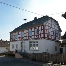
Rathaus
2.9 km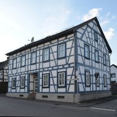
Oberseelbacher Straße 15
2.7 km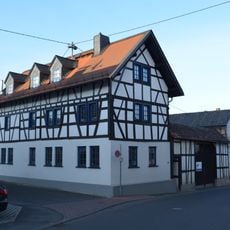
Oberseelbacher Straße 11
2.7 km
Oberseelbacher Straße 6
2.6 km
Oberseelbacher Straße 13
2.7 km
Zugmantelstraße 13
3.5 km
Gesamtanlage Zugmantelstraße
3.6 km
Oberseelbacher Straße 3
2.6 km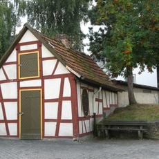
Backhaus
3.6 km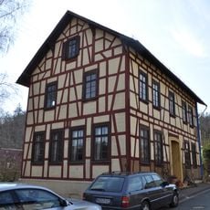
Ehemalige Schule
3.6 km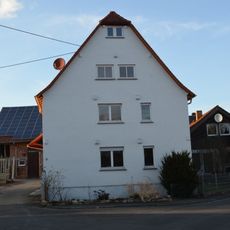
Pfarrstraße 3
2.7 km
Evangelisches Pfarrhaus
2.4 km
Zugmantelstraße 15
3.6 km
Zugmantelstraße 19
3.6 km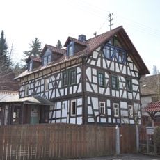
Zugmantelstraße 20
3.5 km
Pfarrstraße 1
2.7 km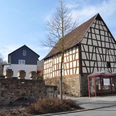
Scheune
3.6 km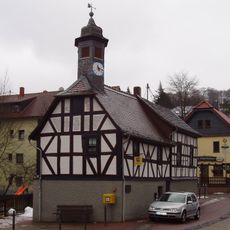
Ehemaliges Rathaus
25 m
Sog. Henkershaus
2.8 km
Zugmantelstraße 23
3.6 kmReviews
Visited this place? Tap the stars to rate it and share your experience / photos with the community! Try now! You can cancel it anytime.
Discover hidden gems everywhere you go!
From secret cafés to breathtaking viewpoints, skip the crowded tourist spots and find places that match your style. Our app makes it easy with voice search, smart filtering, route optimization, and insider tips from travelers worldwide. Download now for the complete mobile experience.

A unique approach to discovering new places❞
— Le Figaro
All the places worth exploring❞
— France Info
A tailor-made excursion in just a few clicks❞
— 20 Minutes