
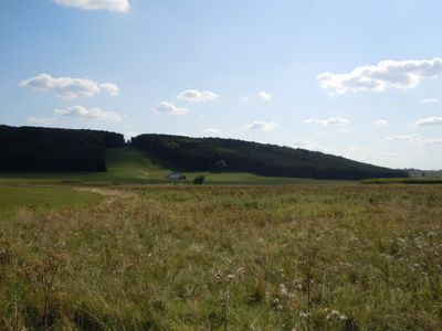
Upfinger Ried, nature reserve in Baden-Württemberg, Germany
Location: St. Johann
Inception: September 15, 1995
GPS coordinates: 48.45028,9.40139
Latest update: March 7, 2025 21:38
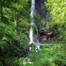
Uracher Wasserfall
4.3 km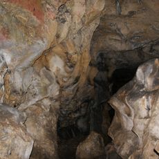
Schillerhöhle
2.9 km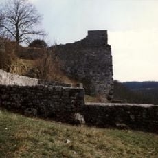
Burg Hohenwittlingen
2.7 km
Haus auf der Alb
3.8 km
Burg Baldeck
2 km
Wassersteinhöhle
3.9 km
Evangelische Kirche Dottingen
3.8 km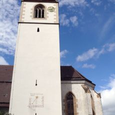
Marienkirche Upfingen
1.1 km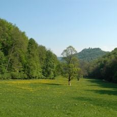
Uracher Talspinne
4.1 km
St. Georgskirche Gächingen
2.5 km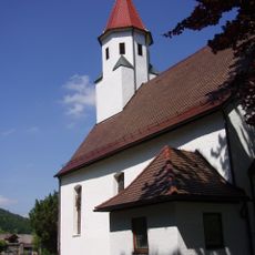
Johanneskirche
4.3 km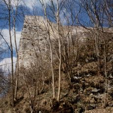
Brunnhalde südlich Hof Hohenwittlingen
2.7 km
Sender Bad Urach (Hanner Felsen)
4.1 km
Höhnriß-Neuben
3.2 km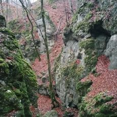
Wolfsschlucht
3 km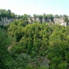
Rutschen
4.3 km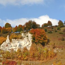
Öde im Hartberg
4.3 km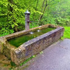
Seeburger Brünnele
4.4 km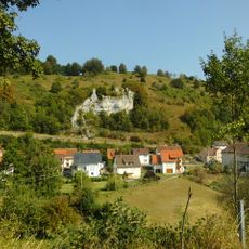
Hartbergfels
4.2 km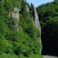
Hoher Fels
4.2 km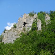
Ruine Baldeck
2 km
Linde am Breinsberg
3.7 km
Baumgruppe Alter Hau
3.5 km
Stolperstein dedicated to Georg Goldstein
3.8 km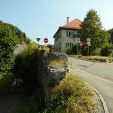
Tuffsteinwand
4.2 km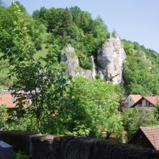
Seeburger Nägelesfels
4.4 km
Rechter Wittlinger
2.7 km
Rabenfels (Bad Urach)
2.2 kmReviews
Visited this place? Tap the stars to rate it and share your experience / photos with the community! Try now! You can cancel it anytime.
Discover hidden gems everywhere you go!
From secret cafés to breathtaking viewpoints, skip the crowded tourist spots and find places that match your style. Our app makes it easy with voice search, smart filtering, route optimization, and insider tips from travelers worldwide. Download now for the complete mobile experience.

A unique approach to discovering new places❞
— Le Figaro
All the places worth exploring❞
— France Info
A tailor-made excursion in just a few clicks❞
— 20 Minutes