
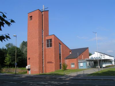
Hoffnungskirche Rheindorf, church
Location: Leverkusen
Architectural style: modern architecture
GPS coordinates: 51.05888,6.95537
Latest update: March 2, 2025 23:43
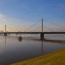
Leverkusen Bridge
2.8 km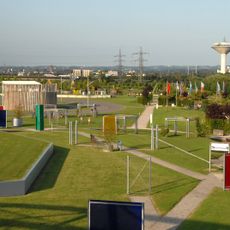
Neuland-Park
2.8 km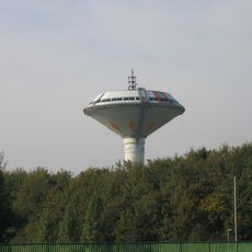
Leverkusen-Bürrig water tower
3 km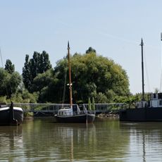
Schiffbrücke alte Wuppermündung
2 km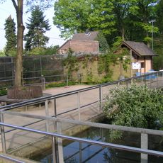
Wildpark Reuschenberg
1.9 km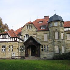
Villa Römer
3.3 km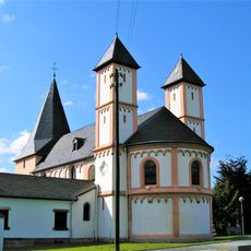
St. Amandus
2.4 km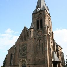
St. Barbara
3.2 km
St. Stephanus
2.5 km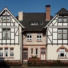
Kolonie-Museum Leverkusen
3.3 km
DITIB-Zentralmoschee Köln-Chorweiler
3.2 km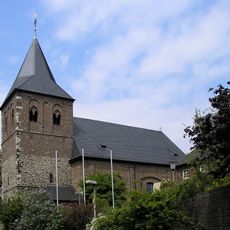
St. Aldegundis
1.4 km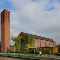
Christus-König-Kirche
3.1 km
St. Stephanus
2 km
Church of the Holy Cross
314 m
Saint Peter Church
2.3 km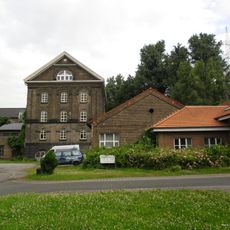
Reuschenberger Mühle
1.4 km
Rheinaue Langel-Merkenich
2.8 km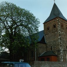
Burg Rheindorf
1.4 km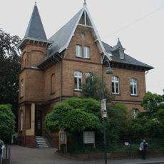
Villa Schwarz
3.4 km
Kevelaer-Kapelle
2 km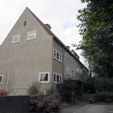
Ehemaliges Kriegerehrenheim Küppersteg
3.2 km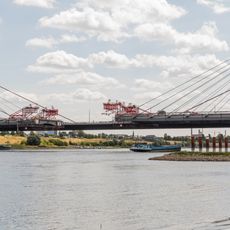
New Leverkusen Bridge
2.8 km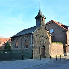
Kapelle am Cohnenhof (Chorweiler-Langel)
2.8 km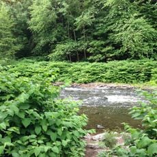
Landschaftsschutzgebiet Unteres Tal der Wupper
2.2 km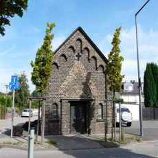
Kapelle St. Barbara (Rheinkassel)
2.7 km
Cohnenhof
2.8 km
Pumpwerk Kuhlenweg
2.5 kmReviews
Visited this place? Tap the stars to rate it and share your experience / photos with the community! Try now! You can cancel it anytime.
Discover hidden gems everywhere you go!
From secret cafés to breathtaking viewpoints, skip the crowded tourist spots and find places that match your style. Our app makes it easy with voice search, smart filtering, route optimization, and insider tips from travelers worldwide. Download now for the complete mobile experience.

A unique approach to discovering new places❞
— Le Figaro
All the places worth exploring❞
— France Info
A tailor-made excursion in just a few clicks❞
— 20 Minutes