
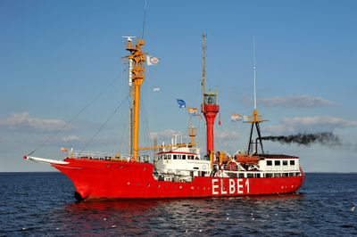
Bürgermeister O´Swald II, lightvessel built in 1948
Length: 58 m
Website: http://feuerschiff-elbe1.de/aktuelles
GPS coordinates: 54.00000,8.17778
Latest update: April 21, 2025 10:05
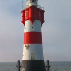
Roter Sand
17.5 km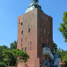
Great Tower Neuwerk
22.9 km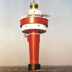
Alte Weser
15.6 km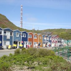
Hummerbuden
27.4 km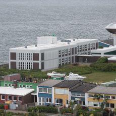
Biologic Institute Helgoland
27.2 km
Key buoy
15.2 km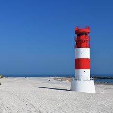
Heligoland Düne Lighthouse
26.6 km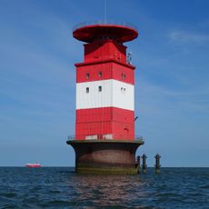
Leuchtturm Mellumplate
26 km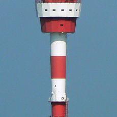
Großer Vogelsand lighthouse
19.7 km
Scharhörnbake
16 km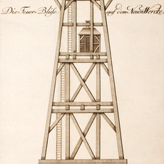
Blüse Neuwerk
22.1 km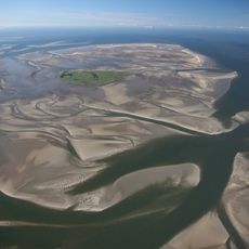
Waddensea of Hamburg Biosphere Reserve
20.6 km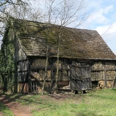
Scheune Sethe Nr. 43
24.5 km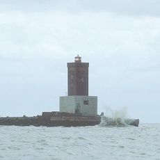
Minsener Oog Buhne A lighthouse
26.2 km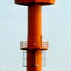
Tegeler Plate Lighthouse
22.5 km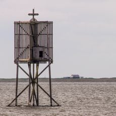
Nordbake
21.5 km
Ostbake
23.4 km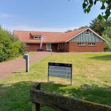
Nationalpark-Haus Neuwerk
23 km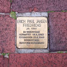
Stolperstein dedicated to Erich Paul Jansen Friedrichs
27.6 km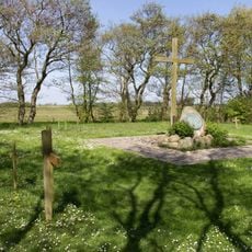
Friedhof der Namenlosen
23.2 km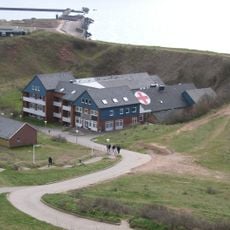
Paracelsus-Nordseeklinik Helgoland
27.5 km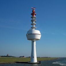
Neuwerk radar tower
22 km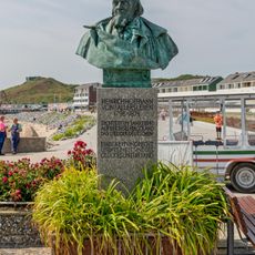
August Heinrich Hoffmann von Fallersleben
27.5 km
Wohnhaus Friesenstraße
27.6 km
Wohnhaus (mit Vorplatz)
27.5 km
Atoll
27.6 km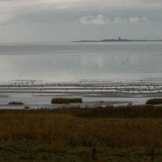
Hamburgisches Wattenmeer
17.3 km
Wohn- und Geschäftshaus
27.6 kmReviews
Visited this place? Tap the stars to rate it and share your experience / photos with the community! Try now! You can cancel it anytime.
Discover hidden gems everywhere you go!
From secret cafés to breathtaking viewpoints, skip the crowded tourist spots and find places that match your style. Our app makes it easy with voice search, smart filtering, route optimization, and insider tips from travelers worldwide. Download now for the complete mobile experience.

A unique approach to discovering new places❞
— Le Figaro
All the places worth exploring❞
— France Info
A tailor-made excursion in just a few clicks❞
— 20 Minutes