
Rukowitzberg, mountain
Location: Bavaria
Elevation above the sea: 1,269 m
GPS coordinates: 49.09475,13.28269
Latest update: March 3, 2025 00:08
Großer Falkenstein
1.1 km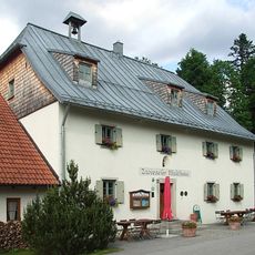
Zwiesler Waldhaus
2.7 km
Höllbachgspreng
1.1 km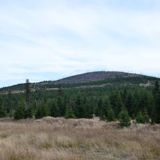
Lackenberg
2.5 km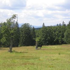
Ruckowitzschachten
1 km
Hůrecká alej
5.2 km
Schloss Ludwigsthal
5.4 km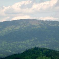
Scheuereckberg
4.7 km
Rotfilz
5.4 km
Totenschädel (Schachten)
4.5 km
Alej u hřbitova
5.5 km
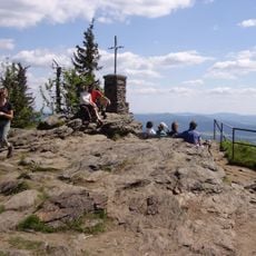
Gipfelklippe des Großen Falkenstein
1.2 km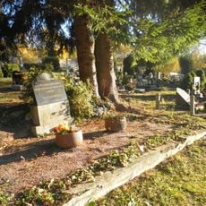
Pomník na hrobu obětí pochodu smrti a pomník na hrobu tří rudoarmějců
5.7 km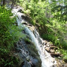
Steinbachfall am Falkenstein
854 m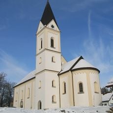
Sacred Heart Church
5.4 km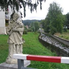
Socha svatého Jana Nepomuckého na mostě přes Řeznou
5.9 km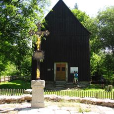
Cemetery chapel of the Holy Cross in Hůrka
5.1 km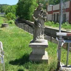
Socha svatého Jana Nepomuckého u mostu ve Sklářské ulici v Železné Rudě
5.8 km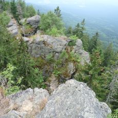
Gipfelklippe des Kleinen Falkenstein
982 m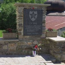
Pomník osvobození na Klostermannově náměstí v Železné Rudě
5.9 km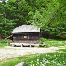
Höllbachschwellhütte
1.5 km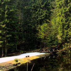
Bestandteil der Regen-Triftanlagen
1.5 km
Mittelsteighütte am Zwieseler Waldhaus
2.6 km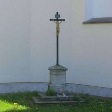
Kříž u kostela v Železné Rudě
5.9 km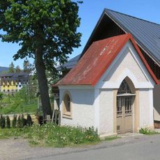
Kaple ve Sklářské ulici v Železné Rudě
5.8 km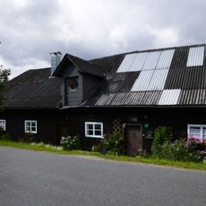
Ehemaliges Pottasche-Sudhaus
2.5 km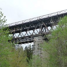
Eisenbahnbrücke über die Große Deffernik
4.9 km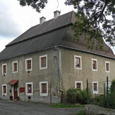
Fara v Železné Rudě
5.8 kmReviews
Visited this place? Tap the stars to rate it and share your experience / photos with the community! Try now! You can cancel it anytime.
Discover hidden gems everywhere you go!
From secret cafés to breathtaking viewpoints, skip the crowded tourist spots and find places that match your style. Our app makes it easy with voice search, smart filtering, route optimization, and insider tips from travelers worldwide. Download now for the complete mobile experience.

A unique approach to discovering new places❞
— Le Figaro
All the places worth exploring❞
— France Info
A tailor-made excursion in just a few clicks❞
— 20 Minutes