
Strempt, district of Mechernich
Location: Mechernich
Elevation above the sea: 306 m
GPS coordinates: 50.58139,6.61722
Latest update: March 7, 2025 03:37
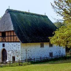
LVR open-air museum in Kommern
3.4 km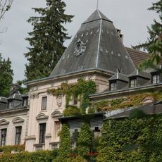
Burg Kommern
4.1 km
Mechernich Mining Museum
2.3 km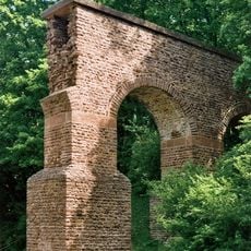
Roman aqueduct Vussem
4.1 km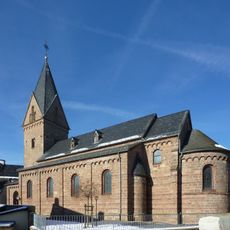
St. Georg (Kallmuth)
2.7 km
Kallmuth Castle
2.7 km
Klausbrunnen
3.3 km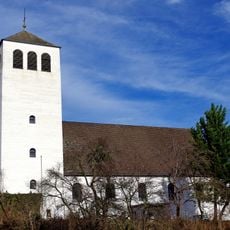
St. John Baptist (Mechernich)
2.9 km
St. Apollinaris und Agatha
3.2 km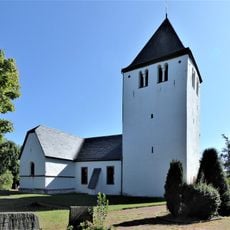
Old Church
3.1 km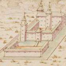
Haus Rath
801 m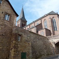
St Severin's Church
4.1 km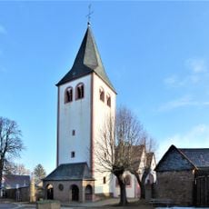
St Andrew's Church
3 km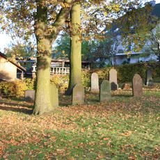
Jewish cemetery, Kommern
3.5 km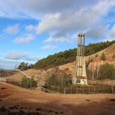
Kallmuther Berg
1.3 km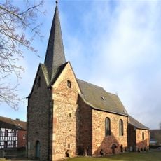
Zu den heiligen Mauren
2.2 km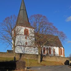
St. Antonius
4.1 km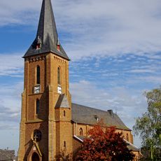
St. Agnes
3.4 km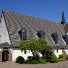
St. Margaretha
3.8 km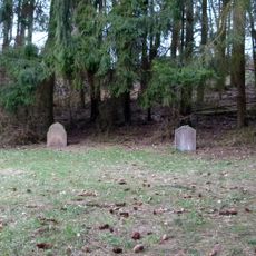
Jüdischer Friedhof
3.6 km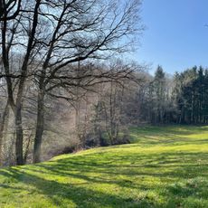
Rotbach- und Bruchbachtal
3.4 km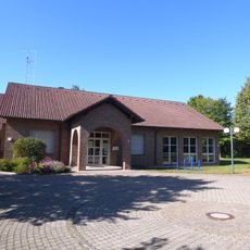
Evangelisches Dietrich-Bonhoeffer-Haus (Mechernich)
3.2 km
Kallmuther Berg
2.5 km
St. Rochus
217 m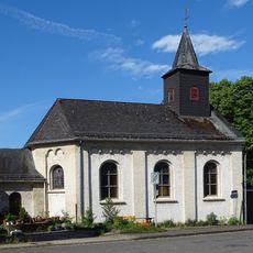
Kapelle St. Leonhard
4.1 km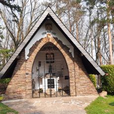
Chapel of St Barbara
3.5 km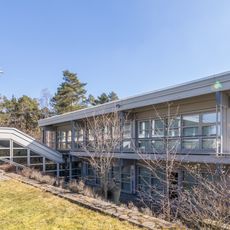
Ergänzungsbau Rheinisches Freilichtmuseum Kommern
3.3 km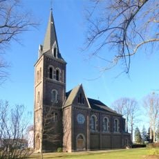
Evangelische Kirche (Mechernich-Roggendorf)
1.3 kmReviews
Visited this place? Tap the stars to rate it and share your experience / photos with the community! Try now! You can cancel it anytime.
Discover hidden gems everywhere you go!
From secret cafés to breathtaking viewpoints, skip the crowded tourist spots and find places that match your style. Our app makes it easy with voice search, smart filtering, route optimization, and insider tips from travelers worldwide. Download now for the complete mobile experience.

A unique approach to discovering new places❞
— Le Figaro
All the places worth exploring❞
— France Info
A tailor-made excursion in just a few clicks❞
— 20 Minutes