
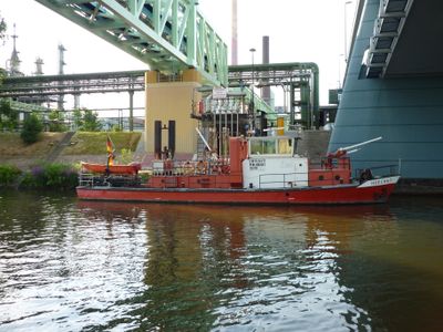
Versorgungsbrücke, Rohrleitungsbrücke über den Main im Industriepark Höchst in Frankfurt am Main
Location: Frankfurt
Inception: 2009
GPS coordinates: 50.08930,8.53499
Latest update: March 5, 2025 05:42
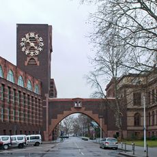
Technical Administration Building of Hoechst AG
580 m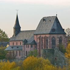
Saint Justinus' church
1.4 km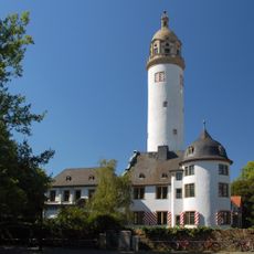
Höchster Schloss
1.3 km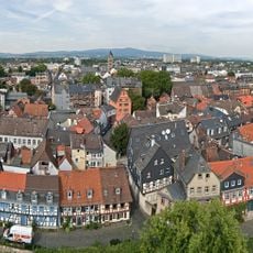
Höchster Altstadt
1.4 km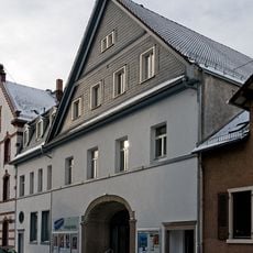
Neues Theater Höchst
1.4 km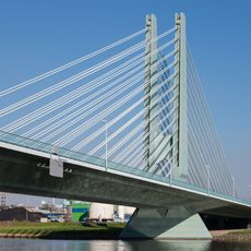
Werksbrücke West
1.3 km
Leunabrücke
934 m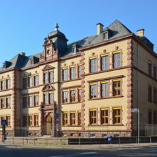
Robert Koch School
1.2 km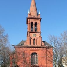
Evangelische Stadtkirche
1.3 km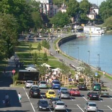
Höchster Hafen
1.3 km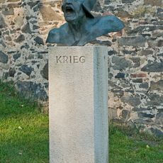
Krieg
1.2 km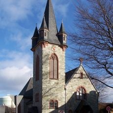
Kirche Sindlingen
1.5 km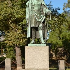
Bismarck-Denkmal (Frankfurt-Höchst)
1.2 km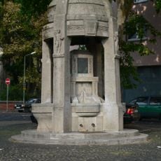
Brüningbrunnen
1.4 km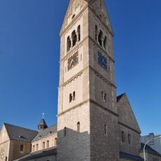
St. Josef (Frankfurt-Höchst)
1.5 km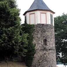
Ochsenturm
1.2 km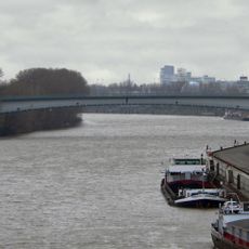
Werksbrücke Mitte
24 m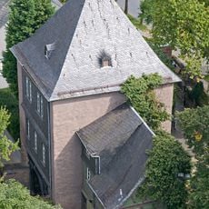
Zollturm
1.4 km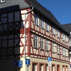
Former inn, Zum Goldenen Adler
1.5 km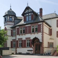
Haus Leverkuser Straße 7
1.3 km
Haus Storchgasse 23
1.5 km
Finkenweg 2
1.5 km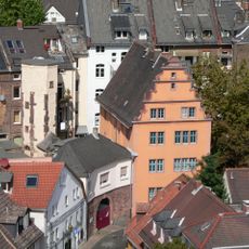
Greiffenclau'sches Haus
1.4 km
Haus Leverkuser Straße 4
1.3 km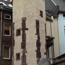
Treppenturm
1.4 km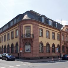
Former Höchst post office
1.5 km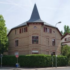
Haus Leverkuser Straße 8
1.4 km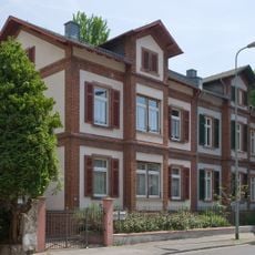
Haus Leverkuser Straße 6
1.3 kmReviews
Visited this place? Tap the stars to rate it and share your experience / photos with the community! Try now! You can cancel it anytime.
Discover hidden gems everywhere you go!
From secret cafés to breathtaking viewpoints, skip the crowded tourist spots and find places that match your style. Our app makes it easy with voice search, smart filtering, route optimization, and insider tips from travelers worldwide. Download now for the complete mobile experience.

A unique approach to discovering new places❞
— Le Figaro
All the places worth exploring❞
— France Info
A tailor-made excursion in just a few clicks❞
— 20 Minutes