
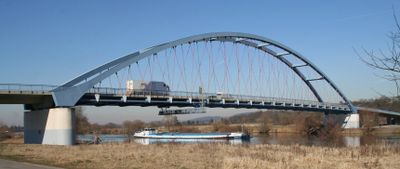
Mainbrücke Niedernberg-Sulzbach, Straßenbrücke in Unterfranken aus dem Jahr 2001 bei Flusskilometer 97,980 über den Main
Location: Niedernberg
Location: Sulzbach am Main
Inception: July 22, 2001
Length: 318 m
Longest Span: 150 m
GPS coordinates: 49.89530,9.15156
Latest update: September 23, 2025 16:46
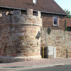
Town walls in Sulzbach am Main
1.6 km
Mainauen bei Sulzbach und Kleinwallstadt
276 m
Kirche
1.5 km
Friedhofskapelle
1.7 km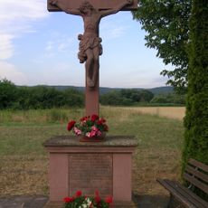
Wegkreuz
367 m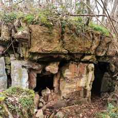
Bunker 259 Sulzbach
287 m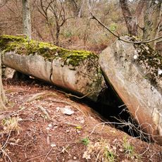
Bunker 263 Kleinwallstadt
568 m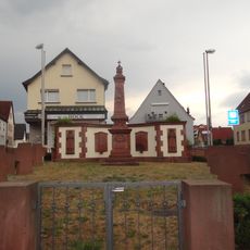
Kriegerdenkmal
1.8 km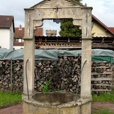
Brunnen
1.7 km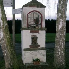
Bildstock
1.8 km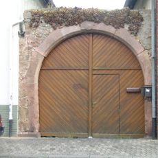
Hoftor
1.5 km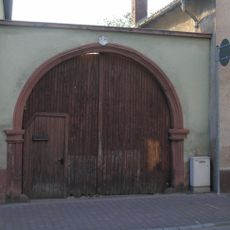
Hoftor
1.6 km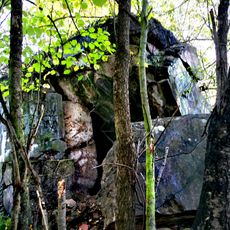
Bunker 256 Sulzbach
937 m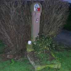
Bildstock
689 m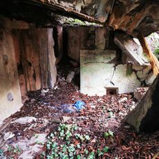
Bunker 264 Kleinwallstadt
879 m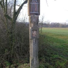
Bildstock
650 m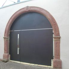
Hoftor
1.5 km
Bunker 260 Sulzbach
505 m
Bunker 258 Sulzbach
461 m
Pietà
1.8 km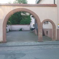
Hoftor
1.6 km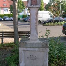
Bildstock
1.6 km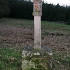
Bildstock
1.5 km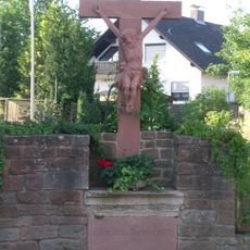
Kreuz
1.5 km
Prinzregent Luitpold-Linde
1.7 km
Wohnhaus
1.8 km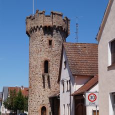
Wachturm
1.7 km
Bunker 257 Sulzbach
507 mReviews
Visited this place? Tap the stars to rate it and share your experience / photos with the community! Try now! You can cancel it anytime.
Discover hidden gems everywhere you go!
From secret cafés to breathtaking viewpoints, skip the crowded tourist spots and find places that match your style. Our app makes it easy with voice search, smart filtering, route optimization, and insider tips from travelers worldwide. Download now for the complete mobile experience.

A unique approach to discovering new places❞
— Le Figaro
All the places worth exploring❞
— France Info
A tailor-made excursion in just a few clicks❞
— 20 Minutes