
Grafwegen, human settlement in Germany
Location: Kranenburg
Elevation above the sea: 29 m
GPS coordinates: 51.74944,5.95750
Latest update: March 16, 2025 11:37
Genneperhuis
4 km
Roman villa Plasmolen
2.6 km
Freedom Museum
4.3 km
De Horst
2.8 km
Zuidmolen
3.1 km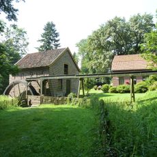
Bovenste Plasmolen
2.6 km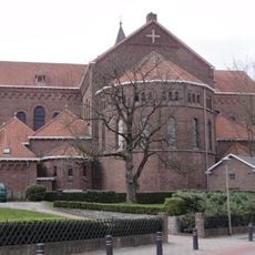
Sint Cosmas en Damianus (Groesbeek)
3.4 km
Huis te Groesbeek
3.7 km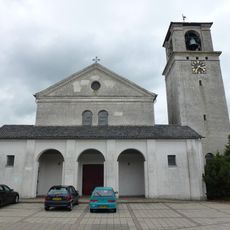
Goddelijk Hart van Jezuskerk
2.9 km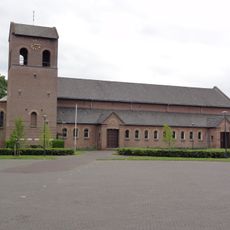
Antonius van Paduakerk (Breedeweg)
1.7 km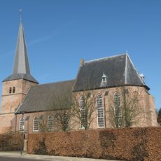
Nederlands Hervormde kerk
3.7 km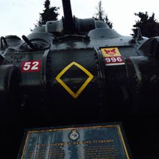
Sherwood Rangers-memorial
4.2 km
Onze-Lieve-Vrouw van Altijddurende Bijstandkerk
2.7 km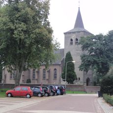
Sint-Lambertuskerk
4 km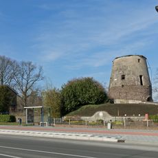
Molen Jacobs
2.9 km
Gerardus Majella en Antoniuskerk
4.3 km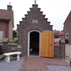
Onze-Lieve-Vrouw-Onbevlekt-Ontvangenkapel
4 km
LSG-Waldgebiet Reichswald
2.5 km
Voormalige koetsierswoning van het landgoed "De Wolfsberg"
3.4 km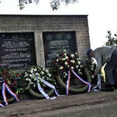
Monument langs Klein Amerika
2.3 km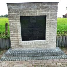
Monument aan de Kon. Wilhelminaweg
2.5 km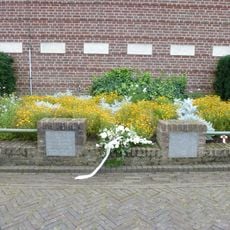
Monument voor Anthony M. Stefanich
1.4 km
Tombstone of Trineken Frinix
2.3 km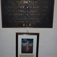
Monument voor Nederlandse Militairen
2.9 km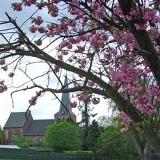
Toren der Hervormde Kerk
3.7 km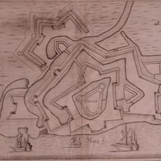
Fortress Genneperhuis
4 km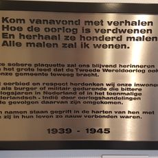
Monument voor Oorlogsslachtoffers
3.5 km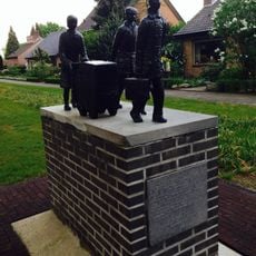
Evacuatie
3.4 kmReviews
Visited this place? Tap the stars to rate it and share your experience / photos with the community! Try now! You can cancel it anytime.
Discover hidden gems everywhere you go!
From secret cafés to breathtaking viewpoints, skip the crowded tourist spots and find places that match your style. Our app makes it easy with voice search, smart filtering, route optimization, and insider tips from travelers worldwide. Download now for the complete mobile experience.

A unique approach to discovering new places❞
— Le Figaro
All the places worth exploring❞
— France Info
A tailor-made excursion in just a few clicks❞
— 20 Minutes