
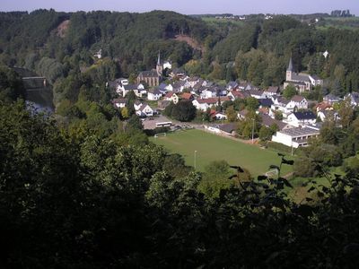
Herchen, human settlement in Germany
Location: Windeck
Elevation above the sea: 105 m
GPS coordinates: 50.78060,7.51500
Latest update: June 17, 2025 03:48
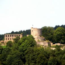
Burg Windeck
5.8 km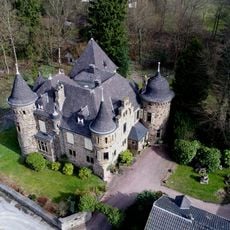
Burg Dattenfeld
4.2 km
Siegfall
5.9 km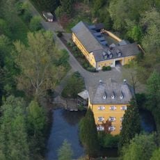
Burg Welterode
5.8 km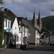
St. Laurentius
4 km
Thingplatz Herchen
548 m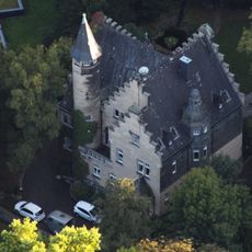
Villa Boge
4.9 km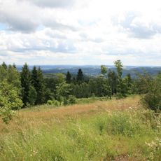
Hohes Wäldchen
6 km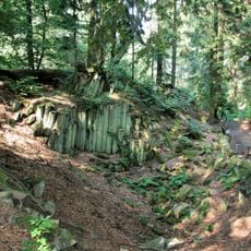
Basaltkrater Blauer Stein
4.8 km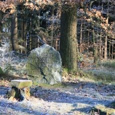
Hoher Schaden
4.9 km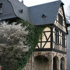
Villa Gauhe
4.5 km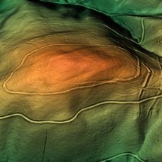
Ringwälle bei Stromberg
3.6 km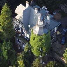
Burg Reifershardt
867 m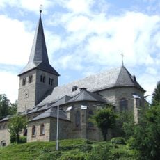
St. Peter
232 m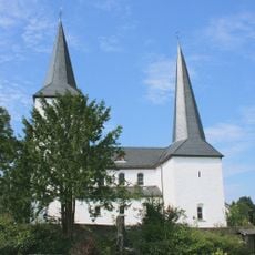
Evangelische Kirche Leuscheid
3.5 km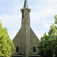
St. Petrus Canisius
2.4 km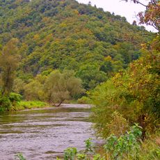
Siegaue in den Gemeinden Windeck, Eitorf und der Stadt Hennef
420 m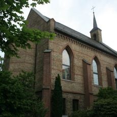
Evangelische Kirche Eitorf
4.8 km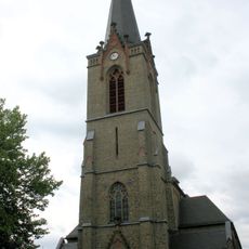
St. Patricius (Eitorf)
4.8 km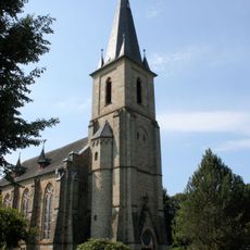
Evangelische Kirche Herchen
339 m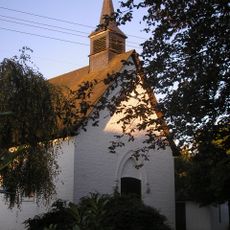
Kapelle Stromberg
2.3 km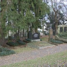
Jüdischer Friedhof
3.9 km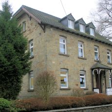
Altes Pfarrhaus Herchen
380 m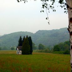
Heiligenhäuschen Alzenbach
3.1 km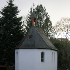
Antoniuskapelle
195 m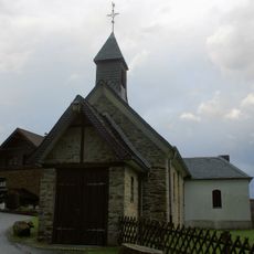
Kapelle Gutmannseichen
4.6 km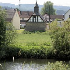
Kreuzkapelle Alzenbach
2 km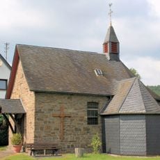
Sankt-Michaels-Kapelle Hoppengarten
2.3 kmReviews
Visited this place? Tap the stars to rate it and share your experience / photos with the community! Try now! You can cancel it anytime.
Discover hidden gems everywhere you go!
From secret cafés to breathtaking viewpoints, skip the crowded tourist spots and find places that match your style. Our app makes it easy with voice search, smart filtering, route optimization, and insider tips from travelers worldwide. Download now for the complete mobile experience.

A unique approach to discovering new places❞
— Le Figaro
All the places worth exploring❞
— France Info
A tailor-made excursion in just a few clicks❞
— 20 Minutes