
Hohenweiler, human settlement in Germany
Location: Pleinfeld
Elevation above the sea: 400 m
GPS coordinates: 49.13550,10.98780
Latest update: March 2, 2025 23:53
Sandsee Castle
3.3 km
Schloss Pleinfeld
3.3 km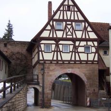
Spalter Tor
3.3 km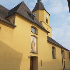
Kirche St. Nikolaus
3.2 km
Heimat- und Brauereimuseum Pleinfeld
3.3 km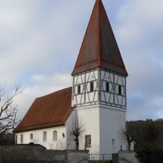
Catholic branch church Allmannsdorf
1.9 km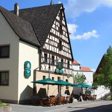
Gasthaus Schwarzer Adler
1.1 km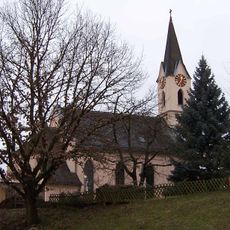
St. Petrus
3.3 km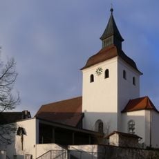
Pfarrkirche Mariä Heimsuchung
1.1 km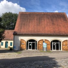
Infozentrum „Seenland - Wasser für Franken“
1.6 km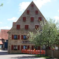
Gasthaus Rose
1.1 km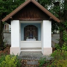
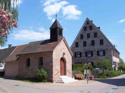
Kapelle der Sieben Schmerzens Mariens
3.2 km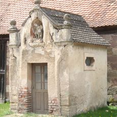
St. Michael
2 km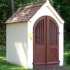
Wegkapelle
1.5 km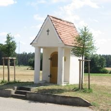
Wegkapelle
1.1 km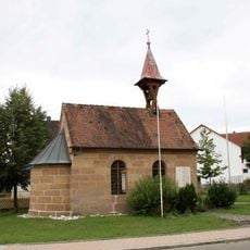
Katholische Ortskapelle
2.7 km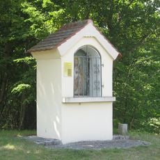
Wegkapelle
1.6 km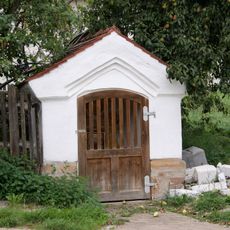
Wegkapelle
2.6 km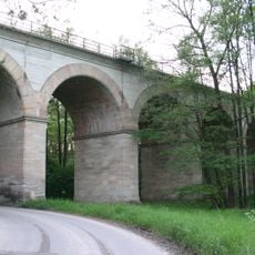
Brombachviadukt der Ludwig-Süd- Nord-Eisenbahn
1.6 km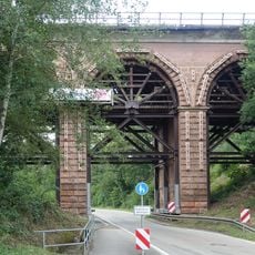
Höbachviadukt der Ludwig-Süd-Nord- Eisenbahn
2.7 km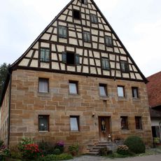
Bauernhaus
2.6 km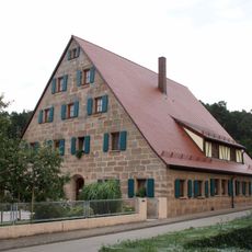
Dreiseithof; Bauernhaus
2.6 km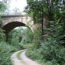
Eisenbahnviadukt der ehemaligen Ludwig-Süd-Nord-Eisenbahn
2.1 km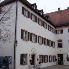
Bücherei Pleinfeld
3.3 km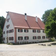
Mandlesmühle: Mühle, Mühl- und Wohngebäude
1.7 km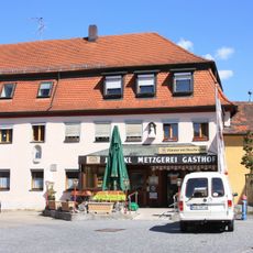
Gasthaus
3.2 km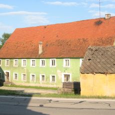
Seemannsmühle, Mühlgebäude
2 km
Bauernhaus
1.1 kmReviews
Visited this place? Tap the stars to rate it and share your experience / photos with the community! Try now! You can cancel it anytime.
Discover hidden gems everywhere you go!
From secret cafés to breathtaking viewpoints, skip the crowded tourist spots and find places that match your style. Our app makes it easy with voice search, smart filtering, route optimization, and insider tips from travelers worldwide. Download now for the complete mobile experience.

A unique approach to discovering new places❞
— Le Figaro
All the places worth exploring❞
— France Info
A tailor-made excursion in just a few clicks❞
— 20 Minutes