
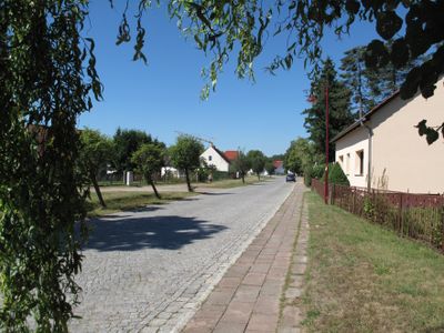
Kummersdorf, human settlement in Germany
Location: Storkow (Mark)
Elevation above the sea: 35 m
GPS coordinates: 52.27190,13.86580
Latest update: March 30, 2025 18:08
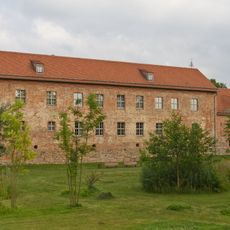
Storkow Castle
5.1 km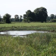
Luchwiesen
3.2 km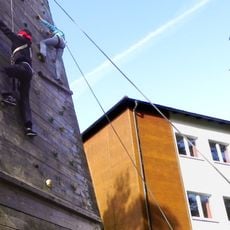
Jugendbildungszentrum Blossin
4.3 km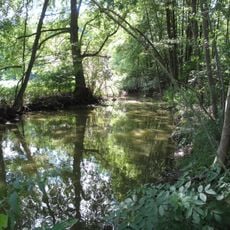
Storkower Kanal
444 m
Village church Görsdorf (Storkow)
4 km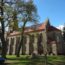
Dorfkirche Friedersdorf (Heidesee)
5.8 km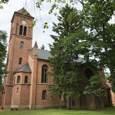
Village church Selchow (Storkow)
6.5 km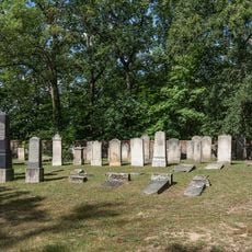
Jüdischer Friedhof
5.5 km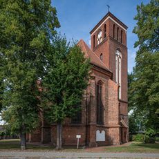
Parish church Storkow
4.9 km
Fischerhaus Köllnitz
4.2 km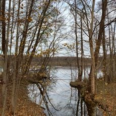
Küchensee
5 km
Kolberger Ablage
6.1 km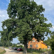
Sandschäferei
6.6 km
Kerring
6.8 km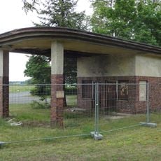
Tankstelle
5.1 km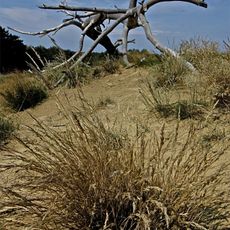
Binnendüne Waltersberge
6 km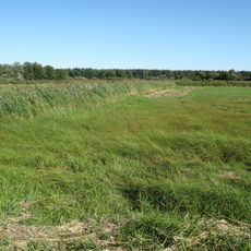
Luchwiesen
3.4 km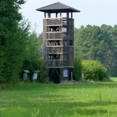
Selchow Observation Tower
5.4 km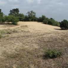
Binnendüne Waltersberge
6.2 km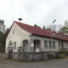
Zentral-Institut für Funktechnik
5.1 km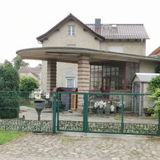
Tankstelle
5.7 km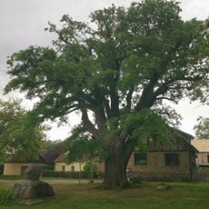
Stieleiche in Kolberg
5.1 km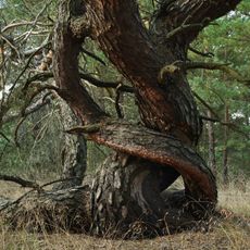
Swatzke und Skabyberge
6.9 km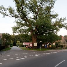
Naturdenkmal Eiche gegenüber dem Gasthaus
2.8 km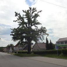
Naturdenkmal Flatterulme Friedersdorf
5.5 km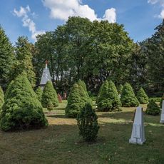
Soviet war cemetery Storkow
5.1 km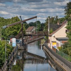
Drawbridge Storkow
5 km
Storkower Kanal
706 mReviews
Visited this place? Tap the stars to rate it and share your experience / photos with the community! Try now! You can cancel it anytime.
Discover hidden gems everywhere you go!
From secret cafés to breathtaking viewpoints, skip the crowded tourist spots and find places that match your style. Our app makes it easy with voice search, smart filtering, route optimization, and insider tips from travelers worldwide. Download now for the complete mobile experience.

A unique approach to discovering new places❞
— Le Figaro
All the places worth exploring❞
— France Info
A tailor-made excursion in just a few clicks❞
— 20 Minutes