
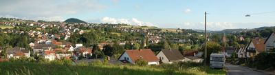
Köllerbach, district of Püttlingen
Location: Püttlingen
Inception: April 1, 1933
Elevation above the sea: 266 m
GPS coordinates: 49.29694,6.90583
Latest update: March 7, 2025 01:01

Burg Bucherbach
729 m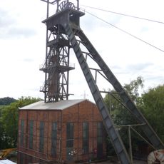
Fosse Viktoria
1.6 km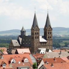
St. Sebastian (Püttlingen)
2.3 km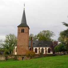
Martinskirche
943 m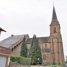
Liebfrauenkirche
1.7 km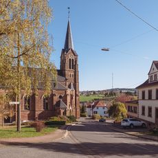
Herz-Jesu-Kirche
1.1 km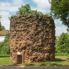
Hexenturm
1.9 km
St. Bonifatius
2.1 km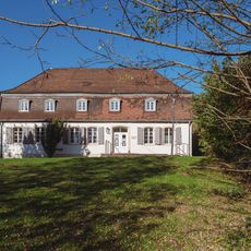
Püttlinger Schlösschen
2 km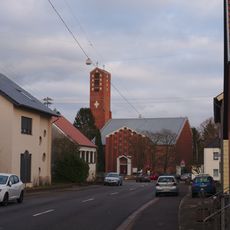
St. Matthias
2.4 km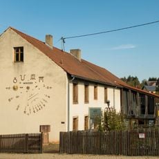
Uhrenmuseum
617 m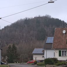
Refuse dump Viktoria
1.4 km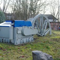
Freilichtmuseum Viktoriastollen Engelfangen
359 m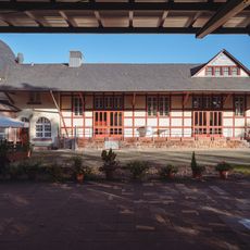
Bahnhof Püttlingen
2.4 km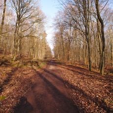
Puettlinger Wald
2.5 km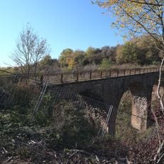
Straßenbrücke
1.3 km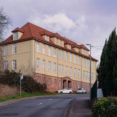
Alte Engelfanger Schule
247 m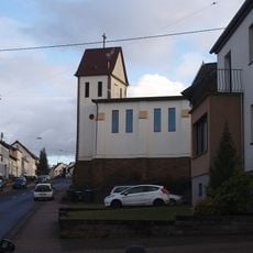
St. Martin
607 m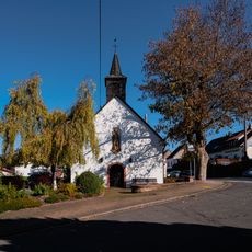
Wendalinuskapelle
1.6 km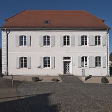
Katholisches Pfarrhaus
997 m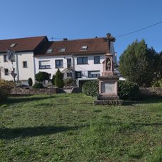
Wegekreuz Himbert Rupp
1.2 km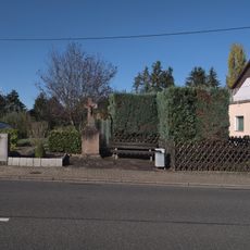
Wegekreuz
1.3 km
Köllner Mühle
1.4 km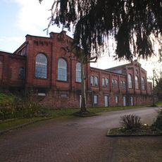
Zechenhaus
311 m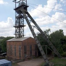
Fördergerüst
1.6 km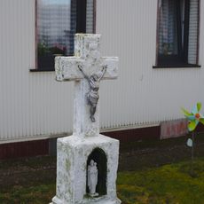
Wayside cross
450 m
Industriegebiet Am Bahnhof
2.5 km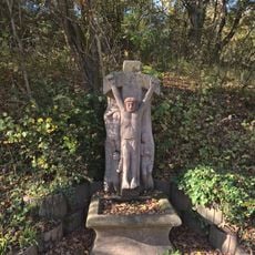
Wegekreuz
1.2 kmReviews
Visited this place? Tap the stars to rate it and share your experience / photos with the community! Try now! You can cancel it anytime.
Discover hidden gems everywhere you go!
From secret cafés to breathtaking viewpoints, skip the crowded tourist spots and find places that match your style. Our app makes it easy with voice search, smart filtering, route optimization, and insider tips from travelers worldwide. Download now for the complete mobile experience.

A unique approach to discovering new places❞
— Le Figaro
All the places worth exploring❞
— France Info
A tailor-made excursion in just a few clicks❞
— 20 Minutes