
Landschaftsschutzgebiet Brandenburger Osthavelniederung
Landschaftsschutzgebiet Brandenburger Osthavelniederung, protected area in Germany
Location: Brandenburg an der Havel
Location: Potsdam-Mittelmark District
Inception: September 26, 1998
GPS coordinates: 52.43330,12.75000
Latest update: March 2, 2025 20:15

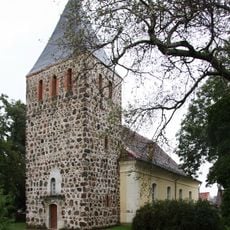
Dorfkirche Schmergow
5 km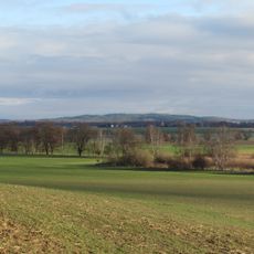
Götzer-Berg
1.6 km
Ketziner Siedlung
6.1 km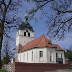
Dorfkirche Jeserig
4.5 km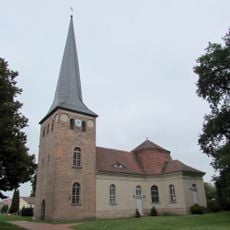
Protestant Church (Roskow)
4.9 km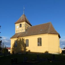
Village church Saaringen
6.1 km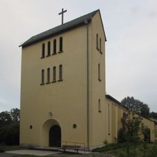
St. Josef (Jeserig)
5.8 km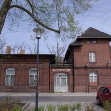
Groß Kreutz station
3.1 km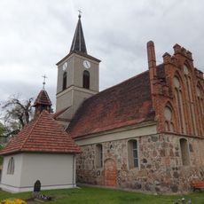
Village church Derwitz
6.1 km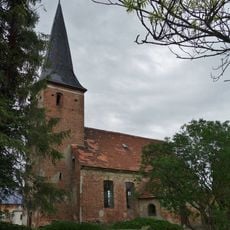
Village church Zachow (Havelland)
5.9 km
Die Steege
5.1 km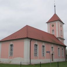
Dorfkirche Weseram
5.9 km
Großes Ohr
6.1 km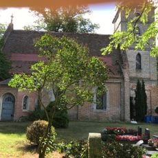
Dorfkirche Gutenpaaren
5.2 km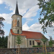
Village church Krielow
4 km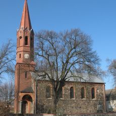
Dorfkirche Bochow
6.4 km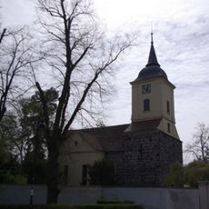
Dorfkirche Groß Kreutz
3.7 km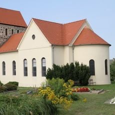
Dorfkirche Götz
2.6 km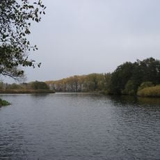
Köhninge
5.4 km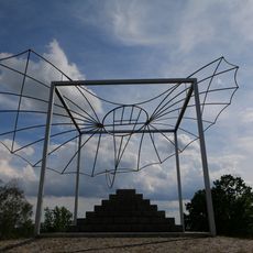
Lilienthal sculpture Windmühlenberg
5.3 km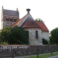
Dorfkirche Deetz
2 km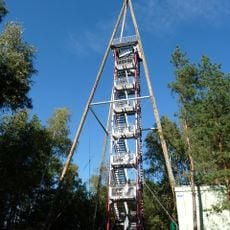
Götzer Berg Observation Tower
1.6 km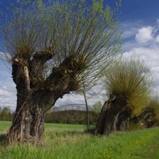
Mittlere Havel Ergänzung
4 km
Mittlere Havelniederung
5 km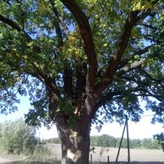
ND 584-01 Stieleiche Schmergow
5.3 km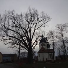
Friedens-Eiche
4.5 km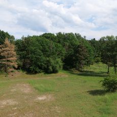
Deetzer Hügel Ergänzung
5 km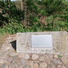
Lilienthal Gedenktafel Spitzberg
5.6 kmVisited this place? Tap the stars to rate it and share your experience / photos with the community! Try now! You can cancel it anytime.
Discover hidden gems everywhere you go!
From secret cafés to breathtaking viewpoints, skip the crowded tourist spots and find places that match your style. Our app makes it easy with voice search, smart filtering, route optimization, and insider tips from travelers worldwide. Download now for the complete mobile experience.

A unique approach to discovering new places❞
— Le Figaro
All the places worth exploring❞
— France Info
A tailor-made excursion in just a few clicks❞
— 20 Minutes