
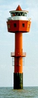
Tegeler Plate Lighthouse, lighthouse in Lower Saxony, Germany
Location: Lower Saxony
Inception: 1965
Height: 24 m
GPS coordinates: 53.79783,8.19117
Latest update: March 3, 2025 02:54
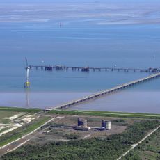
Wilhelmshaven LNG Terminal
18.2 km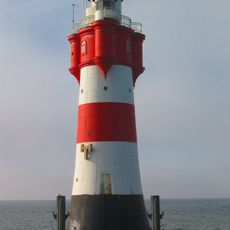
Roter Sand
9.4 km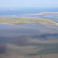
Mellum
9 km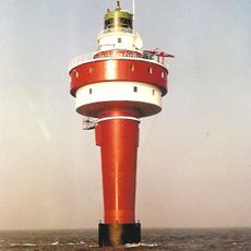
Alte Weser
8.4 km
Beach of Hooksiel
19.4 km
Hohe Weg Lighthouse
10.1 km
St. Marien
15.5 km
Leuchtturm Mellumplate
7.1 km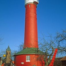
Alter Leuchtturm Wangerooge
19.2 km
Ostanleger Wangerooge
14.7 km
Robbenplate Lighthouse
19.1 km
Daymark Wangerooge-East
15.2 km
St. Willehad
18.9 km
Wiesenbatterie Schillig
15.8 km
Schöpfwerk Wangerland
17.8 km
Severinus- und Jacobus-Kirche
18.1 km
Hohenstief
17.7 km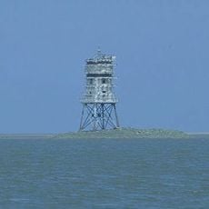
Leuchtturm Untereversand
12.7 km
Wangertief
17 km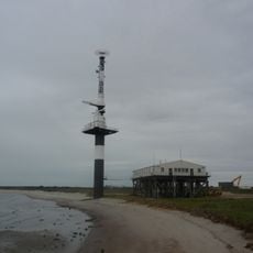
Minsener Oog Buhne C Lighthouse
12.1 km
Nationalpark-Haus Wangerooge
19 km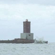
Minsener Oog Buhne A lighthouse
12.2 km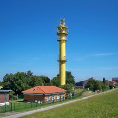
Schillig range rear
15.6 km
Stumpenser Mühle
18.1 km
Schillig range front
15.6 km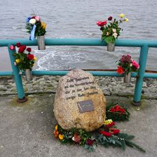
Memorial Hooksiel
18.5 km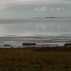
Hamburgisches Wattenmeer
18.6 km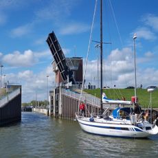
Hooksiel lock
18.9 kmReviews
Visited this place? Tap the stars to rate it and share your experience / photos with the community! Try now! You can cancel it anytime.
Discover hidden gems everywhere you go!
From secret cafés to breathtaking viewpoints, skip the crowded tourist spots and find places that match your style. Our app makes it easy with voice search, smart filtering, route optimization, and insider tips from travelers worldwide. Download now for the complete mobile experience.

A unique approach to discovering new places❞
— Le Figaro
All the places worth exploring❞
— France Info
A tailor-made excursion in just a few clicks❞
— 20 Minutes