
Lonnerstadt, market municipality of Germany in Bavaria
Location: Erlangen-Höchstadt
Elevation above the sea: 288 m
Part of: Verwaltungsgemeinschaft Höchstadt an der Aisch
Website: http://lonnerstadt.de
GPS coordinates: 49.70000,10.76667
Latest update: March 7, 2025 15:17
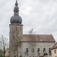
St. Oswald (Lonnerstadt)
78 m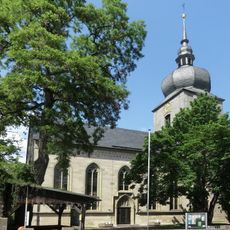
St. James, Uehlfeld
4.5 km
Forsthaus Ailsbach
3.3 km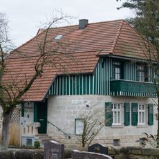
Rathaus bzw. Gemeindehaus
54 m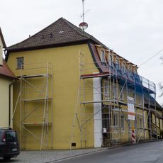
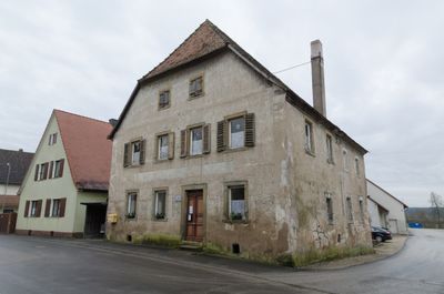
Wohnhaus
108 m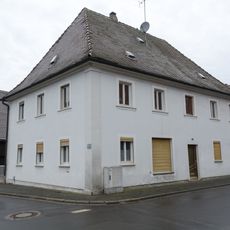
Wohnhaus
264 m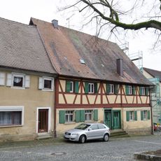
Wohnhaus
151 m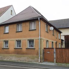
Wohnhaus
208 m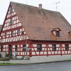
Wohnhaus
240 m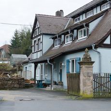
Hoftorpfosten
3.5 km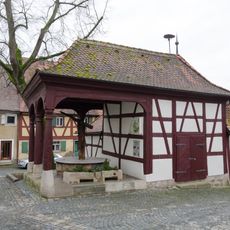
Brunnenhaus
136 m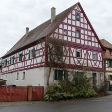
Wohnstallhaus
206 m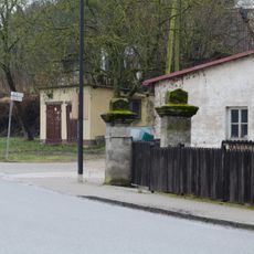
Torpfosten
3.4 km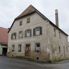
Wohnhaus
212 m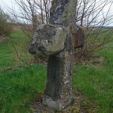
Steinkreuz bei Mailach
2.6 km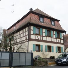
Wohnhaus
191 m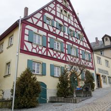
Ehemalige Brauerei Schorr
110 m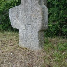
Steinerne Kreuz
5.2 km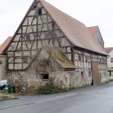
Ehemalige Zehntscheune
228 m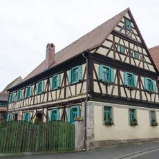
Wohnstallhaus
261 m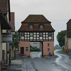
Unteres Torhaus
4.3 km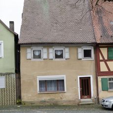
Wohnhaus
144 m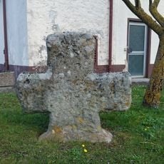
Steinkreuz in Uehlfeld
4.3 km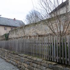
Kirchhofbefestigung Marktplatz 13 in Lonnerstadt
88 m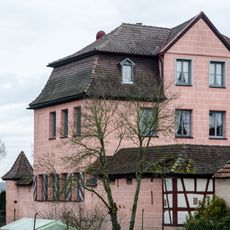
Ehemaliges Nürnberger Amtsschloss, Schloss
305 m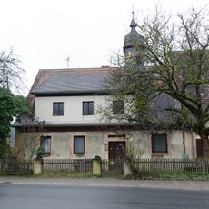
Ehemaliges Gemeindehaus
3.5 km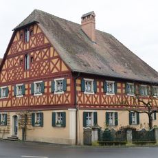
Wohnhaus
244 m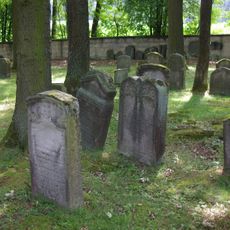
Jüdischer Friedhof
5 kmReviews
Visited this place? Tap the stars to rate it and share your experience / photos with the community! Try now! You can cancel it anytime.
Discover hidden gems everywhere you go!
From secret cafés to breathtaking viewpoints, skip the crowded tourist spots and find places that match your style. Our app makes it easy with voice search, smart filtering, route optimization, and insider tips from travelers worldwide. Download now for the complete mobile experience.

A unique approach to discovering new places❞
— Le Figaro
All the places worth exploring❞
— France Info
A tailor-made excursion in just a few clicks❞
— 20 Minutes