
Rosengarten, municipal district of Lampertheim in Kreis Bergstraße, Germany
Location: Lampertheim
Inception: 1937
Elevation above the sea: 90 m
GPS coordinates: 49.63500,8.39467
Latest update: March 30, 2025 17:17

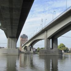
Nibelungenbrücke Worms
1.1 km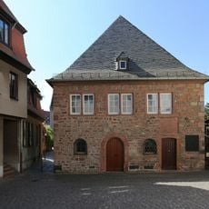
Worms Synagogue
2 km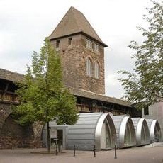
Nibelungen Museum Worms
2.1 km
Liebfrauenkirche (Worms)
1.9 km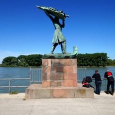
Hagendenkmal
1.3 km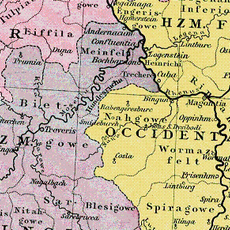
Wormsgau
2.1 km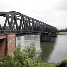
Rhine Bridge (Worms)
2.3 km
Pauluskirche (Worms)
2.2 km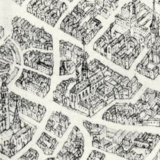
Dominikanerkloster Worms
2.2 km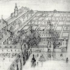
Kapuzinerkloster Worms
1.9 km
Raschi-Haus
2.1 km
Martinskirche
2.3 km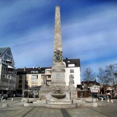
Ludwigsdenkmal
2.3 km
War memorial Worms
2.3 km
Friedrichskirche
2.1 km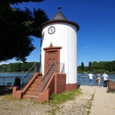
Pegelhaus
1.3 km
Lukaskirche
2.3 km
Jüdisches Museum Worms
2.1 km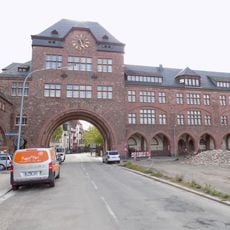
Nibelungenschule Worms
1.8 km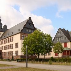
Ernst-Ludwig-Schule
1.6 km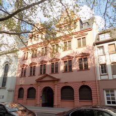
Rotes Haus
2.2 km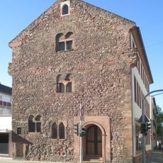
Römerstraße 44
2.3 km
Haus Martinspforte
2.2 km
Woogbrücke
1.9 km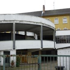
Zentralgarage
2.2 km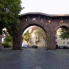
Raschitor
1.9 km
Jahndenkmal
2.2 km
Couvent dominicain de Worms
2.1 kmReviews
Visited this place? Tap the stars to rate it and share your experience / photos with the community! Try now! You can cancel it anytime.
Discover hidden gems everywhere you go!
From secret cafés to breathtaking viewpoints, skip the crowded tourist spots and find places that match your style. Our app makes it easy with voice search, smart filtering, route optimization, and insider tips from travelers worldwide. Download now for the complete mobile experience.

A unique approach to discovering new places❞
— Le Figaro
All the places worth exploring❞
— France Info
A tailor-made excursion in just a few clicks❞
— 20 Minutes