
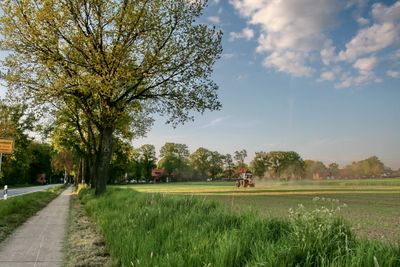
Scherenbostel, human settlement in Germany
Location: Wedemark
Elevation above the sea: 75 m
GPS coordinates: 52.52220,9.72889
Latest update: April 12, 2025 11:16
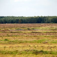
Bissendorfer Moor
3.8 km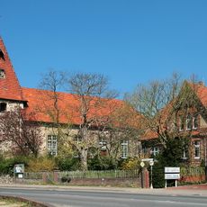
St.-Michaelis-Kirche
1.9 km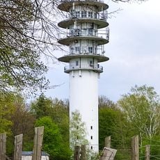
Fernmeldeturm Mellendorf
2.1 km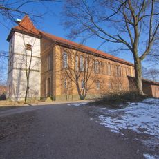
St. Martini
4.8 km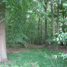
Quellwald bei Bennemühlen
5.4 km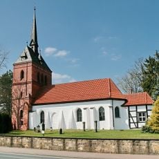
St. Georg
2.6 km
Spaßbad Mellendorf
3 km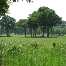
Ellernbruch
4.9 km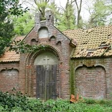
Grabkapelle der Familie von Bothmer
5.5 km
GLIEM Tafel 111 Ortglocke
5.2 km
Wietzetal
4.1 km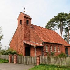
Kapelle Meitze
5.6 km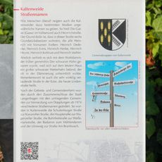
GLIEM Tafel 54 Straßennamen
5.2 km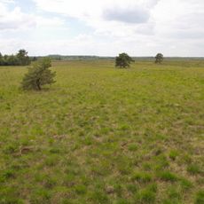
Bissendorfer Moor II
2.6 km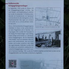
GLIEM Tafel 51 Kriegsgefangenenlager
5.8 km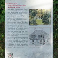
GLIEM Tafel 33 Villa Gail-Hübener-Link »Leben im Grünen«
5.4 km
Christophoruskirche
3.9 km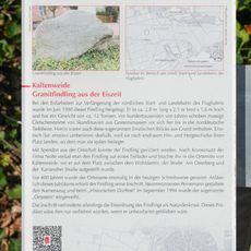
GLIEM Tafel 53 Granitfindling aus der Eiszeit
5.2 km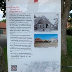
GLIEM Tafel 18 Cassens Hof Wagenzelle Nr. 6
5.6 km
GLIEM Tafel 30 Mühlengeschichte
5.5 km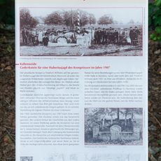
GLIEM Tafel 105 Gedenkstein für eine Hubertusjagd des Kronprinzen im Jahre 1907
5.1 km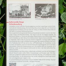
GLIEM Tafel 83 Eichenkreuzburg
3.5 km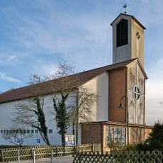
St.-Marien-Kirche
2.4 km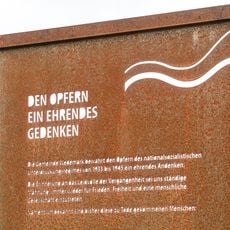
Memorial plaque to victims of national socialism in Wedemark
3.1 km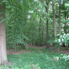
Quellwald bei Bennemühlen
5.4 km
GLIEM Tafel 55 Bulle-Bock-Eber-Straße
5.2 km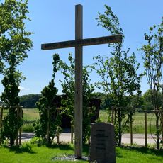
Kreuz des deutschen Ostens
2.4 km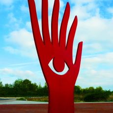
Augenhand
4.7 kmReviews
Visited this place? Tap the stars to rate it and share your experience / photos with the community! Try now! You can cancel it anytime.
Discover hidden gems everywhere you go!
From secret cafés to breathtaking viewpoints, skip the crowded tourist spots and find places that match your style. Our app makes it easy with voice search, smart filtering, route optimization, and insider tips from travelers worldwide. Download now for the complete mobile experience.

A unique approach to discovering new places❞
— Le Figaro
All the places worth exploring❞
— France Info
A tailor-made excursion in just a few clicks❞
— 20 Minutes