
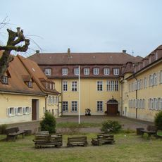
Röcker, deutsche Organisation
Location: Baden-Württemberg
Inception: 1867
GPS coordinates: 49.00050,9.11454
Latest update: September 18, 2025 12:29
Schloss Freudental
4 km
Evangelische Stadtkirche
2.1 km
Römerhaus Walheim
3.4 km
Kastelle von Walheim
3.1 km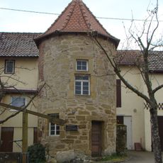
Mäuseturm (Freudental)
4.1 km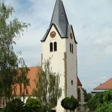
St. Johannes
4 km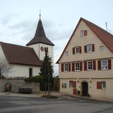
Ottiliakirche (Hofen)
2.9 km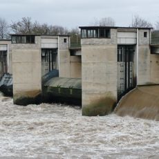
Staustufe Besigheim
2.4 km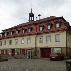
Rathaus
4.1 km
Enztal zwischen Bietigheim und Besigheim mit Rossert, Brachberg, Abendberg und Hirschberg sowie Galgenfeld, Forst und Brandholz mit Umgebung
3.7 km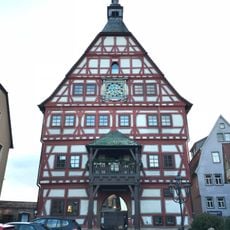
Rathaus Besigheim
2 km
Alter Neckarbogen bei Kirchheim am Neckar, Hofen und Hohenstein mit angrenzenden Gebieten
3.8 km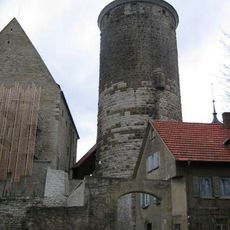
Schochenturm
2.2 km
Aiperturmstraße 10
2 km
Restaurant Zum Adler
1.9 km
Aiperturmstraße 6
1.9 km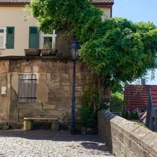
Bakehouse Auf der Mauer 2
2 km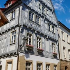
Amtsgerichtgasse 2
2 km
Aiperturmstraße 3
1.9 km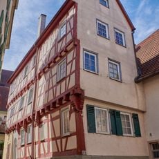
Aiperturmstraße 4
1.9 km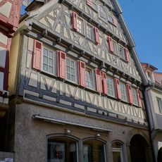
Aiperturmstraße 1
1.9 km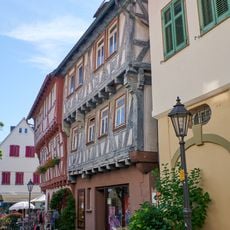
Aiperturmstraße 8
1.9 km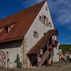
Hauptstraße 57
1.8 km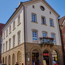
Marktplatz 1
2 km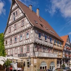
Marktplatz 2
2 km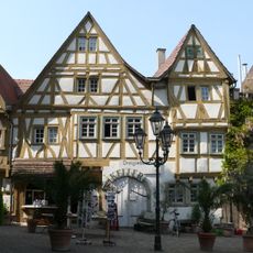
Marktplatz 4
2 km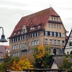
Schlossgasse 6
2.1 km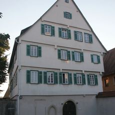
Amtsgerichtgasse 5
2 kmReviews
Visited this place? Tap the stars to rate it and share your experience / photos with the community! Try now! You can cancel it anytime.
Discover hidden gems everywhere you go!
From secret cafés to breathtaking viewpoints, skip the crowded tourist spots and find places that match your style. Our app makes it easy with voice search, smart filtering, route optimization, and insider tips from travelers worldwide. Download now for the complete mobile experience.

A unique approach to discovering new places❞
— Le Figaro
All the places worth exploring❞
— France Info
A tailor-made excursion in just a few clicks❞
— 20 Minutes