
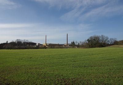
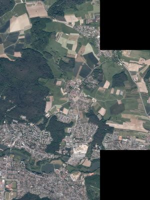
Spardorf, municipality in Bavaria, Germany
Location: Erlangen-Höchstadt
Elevation above the sea: 312 m
Part of: Verwaltungsgemeinschaft Uttenreuth
Shares border with: Uttenreuth, , Erlangen
Website: http://spardorf.de
GPS coordinates: 49.60376,11.05608
Latest update: March 6, 2025 12:37

St. Matthäus
1.7 km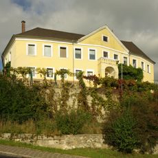
Schloss Marloffstein
1.5 km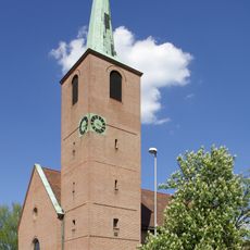
St. Markus
1.6 km
St. Theresia
1.2 km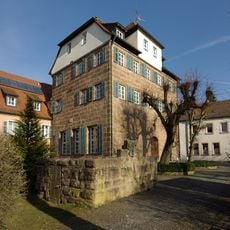
Schloss Puckenhof
1.1 km
St. Jakobus (Marloffstein)
1.6 km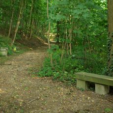
Meilwald mit Eisgrube
1.6 km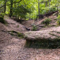
Buckenhof
1.4 km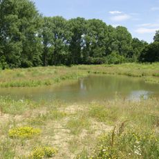
Schwabachtal
2 km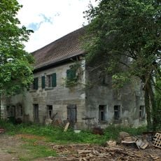
Hauptstrasse 14
1.7 km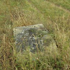
Franzosenstein
2.1 km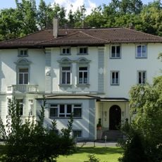
Ehemalige Fabrikantenvilla
1 km
Gasthaus Brücken-Paulus
1.4 km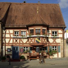
Gasthaus Schwarzer Adler
1.5 km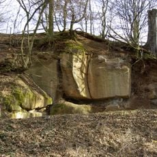
Aufschluss bei der Wunderburg E von Marloffstein
1.7 km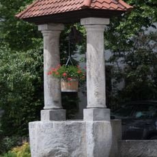
Ziehbrunnen mit zwei Steinsäulen
1.6 km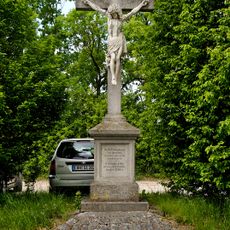
Flurkreuz Marloffstein
2.1 km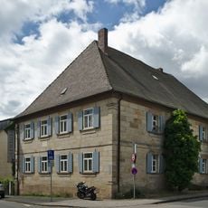
Ehemaliger Hansbauernhof, 1836 Gründungsort der C. St. V. Uttenruthia Erlangen
1.4 km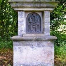
Feldaltar
1.8 km
Sandsteinquaderbau
1.6 km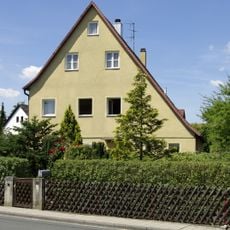
Ehemaliges Forsthaus
1.3 km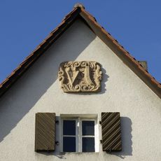
Hauszeichen
1.2 km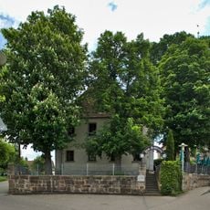
Gasthaus zum Schloss, ehemaliger Herrensitz
1.6 km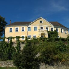
Schloss Marloffstein
1.5 km
Sandsteinquaderbau
1.5 km
Ehemaliger Gasthof „Zum Goldenen Lamm“
1.2 km
Wohnstallhaus
1.1 km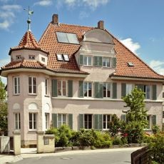
Evangelisch-Lutherisches Pfarrhaus
1.6 kmReviews
Visited this place? Tap the stars to rate it and share your experience / photos with the community! Try now! You can cancel it anytime.
Discover hidden gems everywhere you go!
From secret cafés to breathtaking viewpoints, skip the crowded tourist spots and find places that match your style. Our app makes it easy with voice search, smart filtering, route optimization, and insider tips from travelers worldwide. Download now for the complete mobile experience.

A unique approach to discovering new places❞
— Le Figaro
All the places worth exploring❞
— France Info
A tailor-made excursion in just a few clicks❞
— 20 Minutes